
2027 Does a Public Health BS Prepare You for Public Health GIS Technician Trainee Work?

Co-Founder and Chief Data Scientist
A public health BS can help you understand the health patterns a GIS map is meant to show, but it may not teach you to build the map. That distinction matters when a trainee posting asks for both population-health knowledge and hands-on spatial data skills. If you are a public health student or recent graduate, this guide shows how to assess your readiness, choose practical training, and demonstrate your skills without assuming you need another degree.
Key Things You Should Know
- A public health BS provides useful epidemiology and data context, but GIS technician trainee readiness depends on demonstrated mapping, data-cleaning, and quality-control skills.
- Build at least one documented map or spatial-data project and compare it with the software and tasks in actual trainee postings before paying for a certificate.
- There is no single required degree or reliable national salary figure for the hybrid title "public health GIS technician trainee"; employers set qualifications, and federal wage data use broader occupations.
Does a public health BS prepare you for public health GIS technician work?
Yes, as a foundation - not necessarily as complete technical preparation. A public health BS can teach you to interpret disease rates, recognize social and environmental influences on health, and communicate findings responsibly.
A geographic information system, or GIS, adds the tools for managing location-based data and producing accurate maps. Trainees generally work under supervision rather than independently deciding what a mapped pattern means.
The distinction is easiest to see by matching likely tasks with evidence you can show an employer. Job descriptions vary, so use this comparison to assess a particular posting rather than as a universal checklist.
| Possible trainee task | Relevant BS preparation | Additional evidence to demonstrate |
| Map a population-health measure | Epidemiology and interpretation of rates | A map with an appropriate denominator, legend, and explanation of limitations |
| Prepare geographic data | Statistics and basic data management | A reproducible join, data checks, and source documentation |
| Share findings with a health team | Health communication and equity concepts | A concise explanation that avoids claiming a map proves causation |
If your BS has no GIS coursework, seek an elective, supervised project, or targeted training before concluding that you need another degree. Students still choosing a bachelor's program can compare online public health undergraduate education options, then inspect each curriculum for actual GIS access; a program's delivery format does not establish that it teaches mapping.
What GIS skills do public health GIS technician trainees need?
Start with the tasks in the vacancy. A trainee may need to organize address or area-level data, join records to geographic boundaries, check coordinate systems, make readable maps, and document errors for a supervisor. ArcGIS or QGIS experience may be requested, but the named software and expected proficiency depend on the employer.
Public health judgment makes technical work more useful. A county shaded by case count may look alarming simply because it has a larger population. You should know when a rate is more informative, how small numbers can make rates unstable, and why a geographic association does not establish an individual person's risk. Privacy rules may also limit how precisely cases can be mapped or shared.
A strong starter project uses data you are permitted to use, records its sources and cleaning decisions, and explains the map's limits. If weak grades have you considering graduate study to compensate for a technical gap, first build evidence of the missing skill; low-GPA public health graduate application strategies address a different decision from qualifying for a trainee job.
What education is required to become a public health GIS technician?
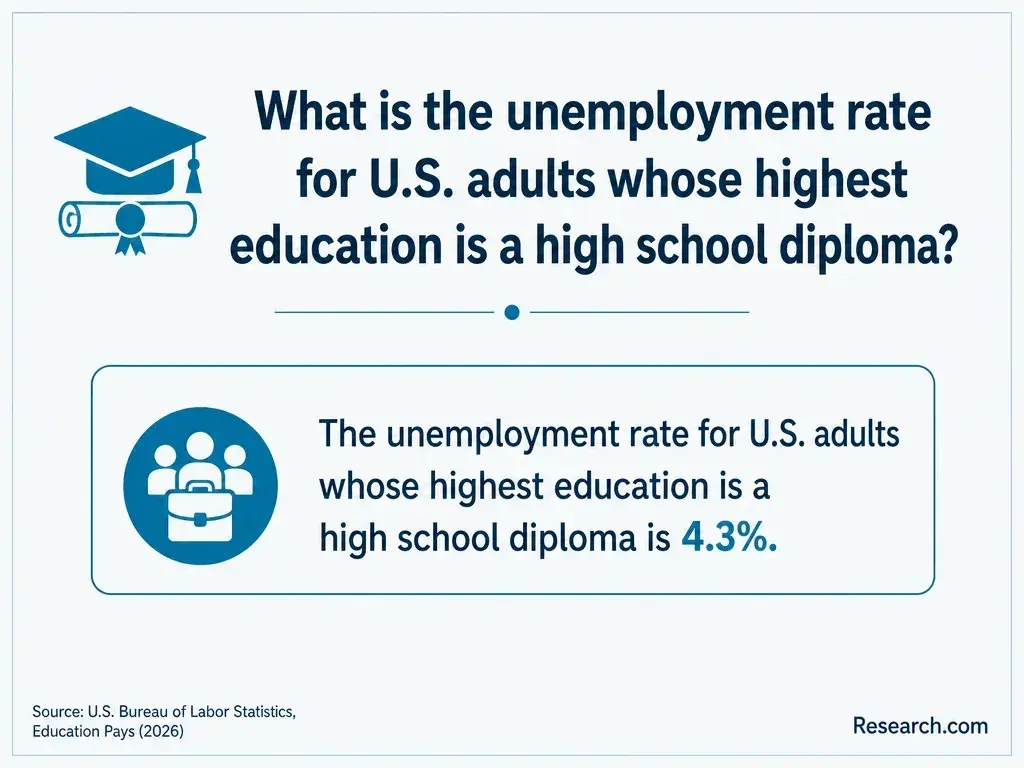
There is no single education requirement attached to this hybrid job title. A health department, university, or contractor may accept a public health bachelor's degree with GIS experience; another employer may prioritize geography, environmental science, computer science, or a related degree.
Some technician postings may accept substantial coursework or experience instead of a bachelor's degree. Read the stated minimum qualifications and distinguish them from preferences.
A GIS certificate can document focused training, but it is not automatically required. An MPH is generally unnecessary for an entry-level mapping role, and neither a public health degree nor a GIS certificate grants clinical licensure. If you are comparing graduate routes for later public health practice work, less selective online MPH programs concern admissions - not whether an MPH is needed to make trainee-level maps.
Prioritize epidemiology and biostatistics for interpreting measures, data management or research methods for checking and documenting datasets, and environmental or community health for understanding place-based questions.
A GIS, geography, or spatial-analysis elective supplies the technical practice those public health courses may not provide. Check prerequisites and whether the elective includes work in GIS software rather than only lectures about maps.
Course sequence matters more than accumulating loosely related electives. Learn basic statistics and spreadsheet or database handling, take an introductory GIS course, then complete a supervised project that requires you to explain both the map and its limitations. If you are choosing shorter course terms for a public health BS, confirm that compressed scheduling still leaves time for software practice and project feedback.
Add one when it fills a documented gap: relevant postings repeatedly request skills you cannot yet demonstrate, and the certificate offers substantial hands-on work with feedback.
Compare its courses, software access, project requirements, schedule, and total charges with a single GIS course or supervised project. A certificate's name alone is weaker evidence than a portfolio showing how you handled geographic data.
Choose the narrower option if you already have a public health BS and need only introductory mapping. Consider a more extensive certificate if you need structured instruction in data management, cartography, and spatial analysis.
A graduate degree is a separate investment for a broader career goal; even university awards for online public health graduate education should not make an MPH the default solution to an entry-level GIS skills gap.
Either format can work if you can use the required software, obtain help when a dataset fails, and receive detailed feedback on maps and workflows. Online study may remove a commute but can still involve scheduled labs or group projects. Campus study may offer easier access to computer labs and instructors, but availability varies by school.
Before enrolling, ask whether your computer meets software requirements, whether licenses or remote lab access are included, how technical support works, and whether the final project can address a public health question. Do not choose a graduate program merely because its application is convenient: online graduate public health options without letters address an admissions obstacle, not the quality of GIS training.
For a degree, verify the institution's recognized accreditation and check whether the specific public health school, unit, or program - and the degree you want - falls within the Council on Education for Public Health's accreditation scope. Do not assume that institutional accreditation or a school's other accredited degree automatically covers a particular BS.
For a standalone GIS certificate, focus on the issuing institution, curriculum, assessed projects, and employer relevance; CEPH accreditation is not a general seal for GIS training. If you later pursue an MPH, compare the exact coverage of CEPH-accredited MPH degree options online. For the trainee decision, verified technical instruction and job-posting fit remain essential even when a program has appropriate accreditation.
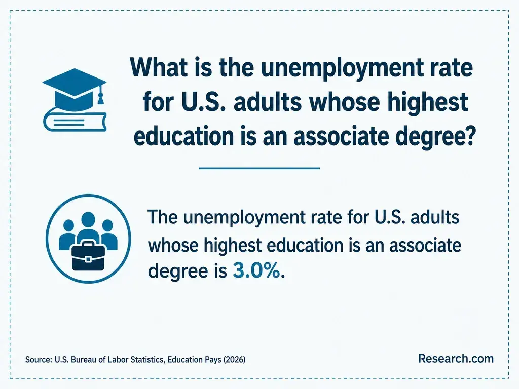
A bachelor's degree commonly takes several years of full-time study, while one elective, a short course, and a certificate represent different time commitments. Your actual timeline depends on completed credits, course sequencing, project requirements, and how quickly you become comfortable troubleshooting GIS data. Ask a school for a degree audit or certificate plan before assuming credits will apply or estimating a completion date.
Compare total cost for the skills you lack, not tuition alone. Include required fees, software or computer costs, transportation or campus visits, and time away from paid work. If you are still selecting a BS, comparing affordable online public health colleges can help you shortlist programs, but request each school's current charges and confirm that useful GIS coursework is actually available. If you already hold the BS, a targeted course may cost less than a second credential.
Look beyond one title. GIS technician trainee, mapping technician, GIS assistant, surveillance data assistant, and research assistant postings may include relevant entry-level tasks, though their qualifications and duties differ. A GIS-focused position may emphasize maintaining geographic datasets; a surveillance assistant position may emphasize health records and reporting with only occasional mapping.
For each posting, compare its minimum education requirement, software, data sources, supervision, and permission to work with sensitive information. Apply when your coursework and projects substantiate those requirements, and use an internship or supervised project to address a clear gap.
Epidemiologist, senior spatial analyst, and research-lead roles generally involve different levels of methods training or experience. Likewise, an online public health doctorate admissions guide is relevant only to a much later, distinct career decision - not entry into technician training.
What are public health GIS technician salaries and job prospects?
There is no dependable national wage or growth statistic for "public health GIS technician trainee" as a distinct occupation. The U.S. Bureau of Labor Statistics reports broader occupations, including surveying and mapping technicians and cartographers and photogrammetrists, but their duties, typical education, and pay are not interchangeable with a public health trainee position. Do not treat an occupation-wide median as your likely starting salary.
For a useful estimate, compare current local postings with similar duties, employer type, work location, and experience level; public-sector jobs may also publish pay grades. Assess prospects by counting suitable openings in your target area and checking whether they require GIS projects, health-data experience, or both.
If you later consider an MPH for advancement, weigh local opportunities against cost-conscious online MPH program choices - not against an assumed salary increase from the degree.
Other Things You Should Know About Public Health
Not necessarily. Check the posting: some trainee roles emphasize desktop GIS and careful data handling, while others request scripting. Learn the listed essentials first, then add Python if it supports the work you want to do.
Usually, if the data's terms permit your intended use. Cite its source, check whether geographic boundaries and measures match, and avoid presenting a practice project as an official health finding.
Only with the site's permission. A map can reveal sensitive information even without names. Ask your supervisor what may be shared publicly and prepare a separate project if permission is unavailable.
Some employers offer remote or hybrid work, but access to restricted data, equipment, training, and local field duties may limit it. Confirm the work location and any on-site requirements in each posting.
- Undergraduate Training in Public Health Should Prepare Graduates for the Workforce - PMC https://pmc.ncbi.nlm.nih.gov/articles/PMC4283444/
- Careers in Public Health - New York State Department of Health https://www.health.ny.gov/prevention/public_health_works/careers/
- GIS Centre for health | who.int https://www.who.int/data/GIS
- Geographic Information System Data | Field Epi Manual https://www.cdc.gov/field-epi-manual/php/chapters/gis-data.html
- Top Skills For GIS Professionals - USC GIS Graduate Programs https://gis.usc.edu/blog/top-gis-skills/
- Public Health Geographic Information Systems | University of Illinois Chicago https://pubhealthgis.uic.edu/
- The Skills You Need to Succeed in a GIS Career | Central Connecticut State University https://pe.ccsu.edu/the-skills-you-need-to-succeed-in-a-gis-career/
- What Can You Do With a Public Health Degree? | Goodwin College of Professional Studies https://drexel.edu/dornsife/students/career-services/what-can-you-do-with-a-public-health-degree/
- How to Become a GIS Technician | GISDegree.org https://www.gisdegree.org/careers/gis-technician/
- geographic information systems technician ii | governmentjobs.com https://www.governmentjobs.com/careers/lacounty/jobs/newprint/1459059


