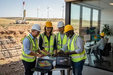
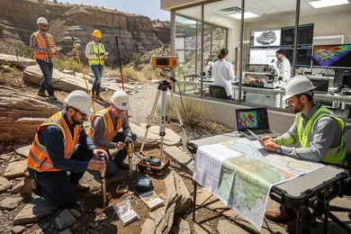
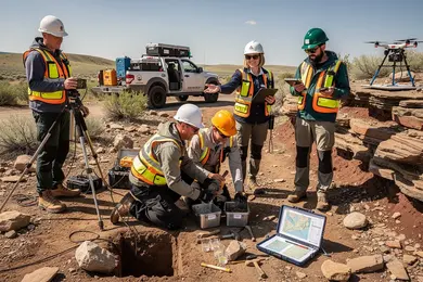
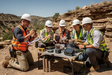
2027 Online Geosciences Degrees With Remote Sensing Concentrations

Co-Founder and Chief Data Scientist
Seasoned geoscience professionals often confront the challenge of mastering remote sensing techniques without interrupting their careers or relocating from resource-rich but remote areas. With U.S. Department of Education data showing a 14% surge in online graduate enrollments over the last two years, the growing availability of online geosciences degrees focused on remote sensing reflects a shift to accommodate working adults seeking specialization.
This rise signals changing workforce demands where spatial data proficiency increasingly dictates geoscience roles, requiring flexible access to advanced training. This article examines the leading online geosciences degrees offering remote sensing concentrations, guiding prospective students through options that align with career advancement and practical constraints.
Key Things You Should Know
- Online geosciences degrees with remote sensing concentrations reduce geographic barriers but often extend average completion times by 15-20% compared to on-campus peers, increasing total tuition and opportunity cost according to NCES 2024 data.
- Employer surveys by AGI in 2024 indicate a 27% higher preference for candidates with combined geosciences and remote sensing skills, but emphasize hands-on field experience, complicating remote-only learning's value proposition.
- Federal workforce projections to 2030 highlight a 12% growth in roles requiring remote sensing expertise within environmental monitoring, creating competitive advantage yet signaling a bottleneck in programs offering integrated practical training.
What are online geosciences degrees with remote sensing concentrations?
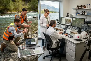
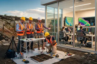
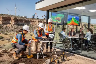
Employers in environmental consulting, government, and resource extraction increasingly expect candidates with hands-on competency in remote sensing technologies alongside classical geoscience knowledge. Online geosciences programs with remote sensing focus integrate training in satellite and drone data acquisition with skills to interpret complex geospatial data, a capability essential for informed decision-making in these sectors. This dual demand places a premium on programs that combine rigorous technical coursework with practical experience opportunities. Without direct access to field equipment, students face challenges acquiring applied skills, making virtual labs and internships critical components.
Students balancing work and study must navigate software-heavy curricula, often involving tools like ENVI or ArcGIS, plus the integration of GIS, photogrammetry, and geological modeling. Remote learning in these areas tests self-discipline and access to specialized datasets, underscoring a tradeoff between flexibility and hands-on engagement. Skill gaps in either area can limit advancement, particularly in roles requiring complex environmental monitoring or resource evaluation.
The U.S. Bureau of Labor Statistics projects a 5% employment growth for geoscientists through 2033, driven largely by remote sensing's expanding utility in environmental and resource management. However, capturing this opportunity depends on certifications, accreditation, and the depth of applied training obtained. For those considering remote sensing concentrations in geosciences degrees online, evaluating program structure against employer expectations is vital.
Understanding what can you do with an environmental studies degree helps contextualize career pivots. Decisions should weigh program credibility, software familiarity, experiential learning, and balancing current job demands, all critical to translating education into sustainable workforce value within this specialized field.
Are online geosciences programs properly accredited?
Online geosciences degree accreditation standards impose significant consequences for students who overlook the necessity of proper institutional recognition. Employers in environmental consulting, agriculture technology, and urban infrastructure consistently require degrees from accredited programs to ensure candidates possess rigorous, industry-aligned training. Graduates from non-accredited programs often encounter reduced job prospects, obstacles in federal financial aid eligibility, and limited access to professional licensing or certifications.
Most online geosciences programs with remote sensing concentrations maintain accreditation through recognized regional agencies such as the Higher Learning Commission or WASC. Specialized accreditation is sporadic but may exist for certain engineering-related Earth sciences programs via ABET. Candidates should confirm their program's alignment with actual industry technologies, including GIS, lidar, and satellite data interpretation, as these competencies are critical for workforce readiness.
The growing global remote sensing market-from approximately $23 billion in 2024 to an anticipated $45 billion by 2030-amplifies employer demand for certified expertise. For working professionals pivoting careers, accredited remote sensing programs in geosciences protect against non-transferable credits and the high costs of re-education, particularly when practical experience through virtual labs or fieldwork alternatives is embedded in the curriculum.
Applicants should:
- Consult the U.S. Department of Education's accreditation database before enrolling.
- Verify curriculum relevance to current remote sensing technologies.
- Ensure delivery formats facilitate applied learning critical for job entry.
For comparison with different disciplines' costs and structures, see animal science degrees online.
How do online and campus geosciences programs compare?
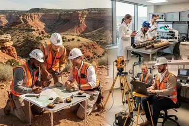
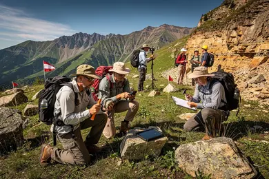
Choosing between online vs campus geosciences degree programs involves assessing key tradeoffs in experiential learning and professional preparation. While online curricula with remote sensing concentrations often mirror the core technical content of campus programs, they typically lack the embedded fieldwork, lab access, and immediate faculty interaction that contextualize theory through practice.
This difference matters because employers filling geospatial roles-with remote sensing median annual wages near $97,200-prioritize candidates who demonstrate applied skills and portfolio projects developed through hands-on or collaborative environments. Campus cohorts benefit from group projects and in-person networking that foster teamwork and communication skills, while online students must proactively create internships or local partnerships to approximate this experience virtually.
For working professionals seeking flexibility, online options enable career pivots without geographic disruption but demand intentional efforts to build practical experience. Conversely, campus environments offer earlier engagement in faculty-led research, which can lead to published work and richer resumes.
Evaluating differences between online and campus geosciences education is essential for aligning educational delivery with career objectives. About 1,600 new geospatial openings annually expect candidates with robust remote sensing capabilities, making experiential learning critical for employability.
For those exploring related fields or cross-disciplinary studies, resources like library science degrees online provide comparable examples of navigating online education's strengths and challenges.
What courses are in a remote sensing concentration?
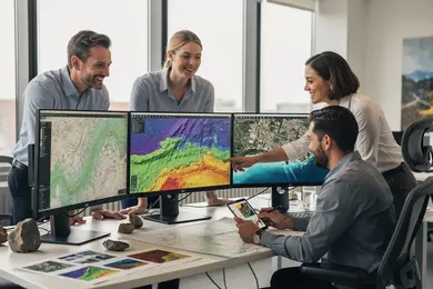
The practical value of remote sensing techniques in geosciences degree programs lies in rigorous technical training that directly meets employer demands for precise data interpretation. Online geosciences courses with remote sensing specialization typically focus on satellite and aerial image analysis, using multispectral and hyperspectral datasets crucial for environmental and resource assessments. Core subjects like GIS applications emphasize spatial data integration and modeling skills essential in areas such as land use planning and disaster response.
Students gain familiarity with sensor technology, including LiDAR, radar, and thermal infrared systems, applied across agriculture, urban development, and climate monitoring. Advanced coursework trains students in digital image processing algorithms for noise reduction and change detection while developing hands-on experience with industry-standard software like ENVI or ArcGIS Pro.
Unlike many on-campus programs requiring field data collection, remote programs prioritize the analytical skills needed in federal agencies, environmental consultancies, and GIS technology firms. One workforce implication is the growing need to handle large geospatial datasets via cloud platforms, a skill increasingly integrated into capstone projects. When weighing options, candidates should note costs: the typical online bachelor's program costing around $66,000 contrasts with $85,000+ for non-resident on-campus alternatives, which may offer more direct software access but less flexibility.
For those exploring graduate education pathways, examining specialized MLIS programs illustrates strategic decisions balancing affordability with program alignment.
What admission requirements do these programs usually have?
Admission to online geosciences degrees with remote sensing concentrations demands more than a relevant undergraduate degree; foundational expertise in earth science, math, and GIS or programming is essential. A 3.0 GPA minimum is common, signaling the technical intensity of these programs. Candidates lacking a geosciences or related STEM background often face prerequisite requirements extending time and cost commitments, which can disrupt career timelines.
Standardized tests like the GRE are optional at many institutions but still influence admission depending on applicant pools. Strong professional references and targeted statements focusing on geospatial data application or environmental analysis remain key to distinguishing candidates. Relevant work experience-such as roles in environmental consulting or government mapping-significantly improves admission prospects by evidencing practical readiness.
Tuition affordability directly impacts return on investment and persistence. For example, Liberty University charges $580 per credit for GIS and remote sensing graduate courses, presenting a competitive mid-tier cost option compared to programs that may double this amount. This cost variance affects not only student debt but also employer tuition assistance viability and overall access.
Applicants should weigh logistical constraints, including possible synchronous labs or fieldwork, especially for fully remote learners balancing employment. Comprehensive academic and financial planning that addresses these factors prevents mid-program interruptions and aligns with strategic career moves in advanced geosciences roles.
How long does an online geosciences degree take?
Completing an online geosciences degree with a remote sensing focus often involves navigating a tension between program demands and professional obligations. Full-time study typically spans 18 to 30 months with 30 to 36 credit hours, grounded in rigorous coursework like spatial analysis and GIS technologies. However, part-time students juggling employment may take 2 to 4 years, a necessary compromise that integrates real-world applications but slows credential acquisition.
Admission criteria are increasingly selective; for instance, the University of Oklahoma's MS in Geospatial Technologies requires a minimum 3.0 GPA and professional documentation, signaling the importance of technical proficiency and demonstrated experience prior to enrollment. This gatekeeping affects both student preparedness and program pacing.
Graduates entering the workforce face employer expectations for hands-on expertise beyond theoretical knowledge. Effective programs prioritize projects using real-world datasets and industry software, reducing the risk of prolonged job searches. Students should weigh synchronous options, which expedite completion yet reduce flexibility, against asynchronous formats that allow schedule control but may extend total study time.
Key tradeoffs to consider:
- Accelerated study demands intensive time investment and limits work flexibility.
- Part-time pathways facilitate professional balance but may delay career pivots.
- Programs emphasizing applied learning enhance employability more than theory-centric curricula.
How much do online geosciences degrees cost?
Cost variation in online geosciences degrees with remote sensing focuses significantly impacts career readiness and financial feasibility. Tuition runs roughly $300 to $900 per credit hour, with total degrees costing between $15,000 and $45,000 depending on institution type and student residency. Public institutions offer lower in-state rates, while private and out-of-state tuition tends to push toward the upper limit. For working professionals pursuing master's credentials, expenses typically fall between $20,000 and $40,000, balancing affordability against credential value.
Choosing programs based solely on sticker price risks underdeveloped technical competencies. Programs like Northern Iowa and North Texas, noted for stronger geospatial technology integration, provide a competitive edge by minimizing on-the-job training lag times. Conversely, cheaper programs with limited software and lab access may extend time to proficiency, affecting employability in environmental consulting, urban planning, and resource management sectors.
Students should assess total investment including hidden costs such as mandatory software licenses, hardware needs, and virtual lab fees, which vary by program structure. Integrated technology access within tuition enhances efficiency and aligns with employer expectations for remote sensing proficiency, a growing baseline demand in geoscience roles.
- Institutions with embedded tech reduce learning curve and immediate workforce readiness
- Lower-cost options may require additional outlays and longer skill acquisition periods
- Employer tuition reimbursement limits can restrict options for higher-priced programs
What jobs can you get with a remote sensing degree?
Remote sensing degrees orient candidates toward specialized roles requiring sophisticated technical skills rather than generalist knowledge. Employers expect familiarity with satellite and aerial data interpretation, geographic information systems (GIS), and programming languages like Python or R, underpinning positions such as remote sensing analyst, GIS specialist, or climate data scientist. These roles are often embedded in contexts demanding precise environmental monitoring or resource management, including federal agencies, private agricultural firms, and conservation non-profits.
Operational expectations extend beyond data handling to designing predictive models and delivering actionable maps that inform decision-making. For example, in agriculture, leveraging multispectral imagery to enhance crop productivity illustrates a direct application with measurable outcomes. However, geography and clearance constraints frequently limit job mobility, particularly within government or defense sectors.
Entry-level positions prioritize proficiency in data processing software and sensor technology fundamentals. Advanced roles increasingly demand expertise in machine learning, 3D spatial modeling, or time-series analysis, often combined with domain-specific knowledge in hydrology, forestry, or disaster management. Maintaining relevance requires ongoing skill development aligned with emerging geospatial technologies.
International programs like the University of Potsdam's tuition-free master's in Remote Sensing demonstrate alternative models reducing financial barriers, an important consideration given the typically high cost of U.S.-based postgraduate education. Prospective students should weigh such options against practical workforce integration challenges, including geographic flexibility and sector-specific hiring nuances.
Internships and certifications in geospatial software improve competitiveness but do not fully mitigate entry hurdles. The trajectory demands strategic planning grounded in both technical acumen and an understanding of industry-specific applications to secure and sustain roles within this data-intensive sector.
What salary can geosciences graduates expect?
Geosciences graduates specializing in remote sensing face a complex salary landscape shaped by sector, technical skill, and economic cycles. Entry-level positions generally start between $55,000 and $70,000 depending on the employer, with government and environmental consulting roles offering lower initial pay but greater stability and benefits. In contrast, private mining and energy firms provide higher salaries-often exceeding $110,000 for senior roles-but expose professionals to market volatility tied to commodity prices and project funding.
The fastest wage growth concentrates around geological remote sensing for mining and exploration, fueled by the strategic adoption of satellite and airborne sensor data to reduce field costs and boost discovery success rates. Candidates lacking hands-on experience with GIS software and airborne technologies encounter advancement roadblocks, regardless of academic credentials.
Practical salary ranges typically reflect:
- Entry-level remote sensing technicians earning $60,000 to $70,000, focused on data processing for environmental or urban planning applications
- Mid-career specialists commanding $85,000 to $95,000 by applying remote sensing to mineral exploration
- Senior project leads or analytics managers exceeding $110,000 in fossil energy and mining sectors
Decisions about entering remote sensing within geosciences must weigh immediate compensation against stability and long-term sector dynamics, factoring in employer type, geographic project location, and technical proficiency requirements. Those evaluating career pivots should consider that proficiency in remote sensing tools is not merely an academic asset but a practical necessity in an increasingly data-driven industry.
Which certifications or licenses matter for geoscience careers?
Securing a Professional Geologist (PG) license remains fundamental for geoscience roles tied to public safety and regulatory responsibilities. The license mandates a relevant degree, supervised experience over four years, and passing ASBOG exams. This path often slows career pivots due to state-specific and procedural requirements. Conversely, remote sensing and GIS professionals can enhance employability and wage prospects through certifications like the GIS Professional (GISP) or Certified Photogrammetrist (CP), which validate technical expertise without licensing delays.
Stackable online certificates have grown in value as modular, flexible credentials fitting working professionals seeking skill updates. These certificates do not replace licensure but offer practical routes for entering or advancing in niches involving LiDAR, drone data, or satellite image analysis. For example, a remote sensing analyst targeting private sector roles benefits immediately from specialized, recognized certificates over PG licensure's longer timeline.
Employers prioritize credentials aligned with legal authority or specific technical demands. Therefore, professionals shifting from environmental science into regulatory geoscience must weigh licensure's legal necessity against delayed entry, while others focusing on industry roles favor certificates that provide faster, actionable competence.
Key considerations include:
- Licensure ensures legal authority, often critical for public and government roles.
- Certificates provide agility and direct skill validation for emerging geospatial tools.
- Balancing formal credentials with workforce timing impacts career trajectory decisions.
Other Things You Should Know About Geosciences
Online programs frequently offer flexibility suited to working professionals, but the intensity and time commitment remain substantial. Students should prioritize programs with asynchronous coursework combined with periodic live sessions to balance work and study. Rigid schedules or programs heavily reliant on real-time labs can introduce conflicts, reducing learning effectiveness and increasing stress. A program's capacity to provide substantial technical support and access to remote sensing software also directly impacts practical skill acquisition for career relevance.
In 2027, online geosciences degrees incorporate virtual labs, simulations, and software tools for practical remote sensing training. Partnerships with industry leaders also provide students access to real-world data sets, enhancing their hands-on learning experience without physical presence in a laboratory.
Focusing on remote sensing tailors a graduate's skill set toward data analysis, GIS applications, and environmental monitoring. While this enhances suitability for roles in environmental consulting and government agencies, it narrows opportunities in other geosciences specialties like petrology or structural geology. Students aiming for flexibility might consider coupling remote sensing with complementary minors or certificates to diversify employability. Employers in certain sectors require multi-disciplinary knowledge, so specialization should align with the student's target job market.
Most programs require training in ArcGIS or QGIS, ENVI or ERDAS IMAGINE, and access to NASA Earthdata, USGS EarthExplorer, or Copernicus data. Students also need a reliable computer, at least 8 GB of RAM, and familiarity with raster analysis, image classification, and geospatial data formats.
References
- Geoscience Career Pathways https://www.grow-geocareers.com/careerpathways
- www.geographydegrees.org: Verifying that you are not a robot... https://www.geographydegrees.org/degrees/remote-sensing/
- Salary Information https://www.geolsoc.org.uk/Geology-Career-Pathways/Careers/Salary-Information.html
- Remote Sensing Jobs: Remote Sensing Satellite Evaluation https://www.gogeogo.com/en/job-category/remote-sensing-jobs
- Master's degree Geographic information: spatial analysis and remote sensing https://formations.univ-gustave-eiffel.fr/en/our-studies/detail
- Working Geoscience https://profession.americangeosciences.org/working/
- Online Geoscience Degrees: Top Schools and All Programs in 2026 https://www.gisdegree.org/online/geoscience-degrees/
- Geographic Information Science Degree Programs Online | GIS Degrees https://www.gisdegrees.org/programs/geographic-information-science
- ThisIsGeoscience - Geoscience Salaries https://www.thisisgeoscience.com/the-resources/geoscience-salaries
- Admissions Criteria https://ed.wum.edu.pl/pl/admissions-criteria