2027 Geosciences Specializations That Best Match Field and Monitoring Careers

Co-Founder and Chief Data Scientist
Professionals aiming to enter field and monitoring roles in geosciences often encounter a bottleneck: selecting a specialization that aligns both with current industry demand and evolving job functions. With nearly 35% of geoscience graduate programs now offering flexible online or hybrid formats as reported by the National Center for Education Statistics in 2024, accessibility has expanded but so has complexity in choosing the right pathway.
This shift reflects a broader trend toward adult learners balancing work and study, forcing candidates to weigh practical training against theoretical breadth for immediate career applicability. This article evaluates distinct geosciences specializations focused on fieldwork and monitoring, providing clarity to optimize program selection based on tangible workforce outcomes and skill requirements.
Key Things You Should Know
- Remote sensing specialization demands proficiency in geospatial AI; however, rising software licensing costs and limited hands-on fieldwork options delay skill acquisition, affecting immediate employability in monitoring roles, per USGS 2024 workforce data.
- Environmental geology expertise aligns with 18% projected sector growth but faces employer preference for interdisciplinary credentials, complicating career pivots unless combined with regulatory or data analysis competencies.
- Hydrogeology offers stable public-sector funding streams amid climate-driven demand, yet costly multi-year certifications create entry barriers, requiring strategic financial planning for candidates targeting long-term agency careers.
What are geosciences specializations for field and monitoring careers?
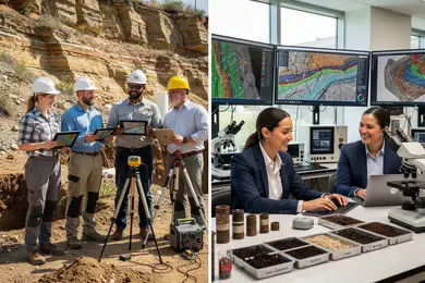
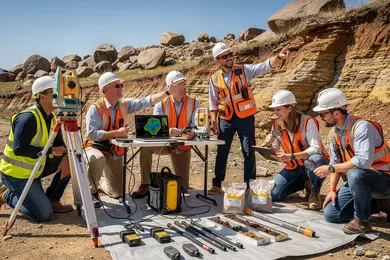
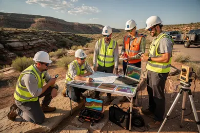
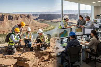
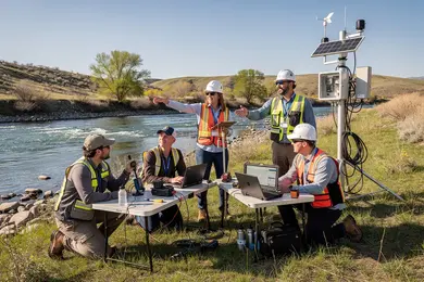
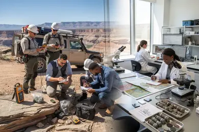
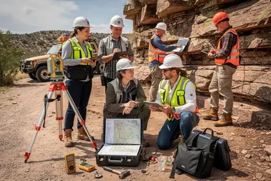
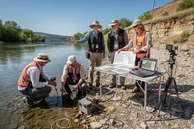
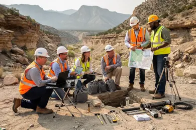
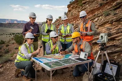
Field geosciences career paths focused on environmental geology, hydrogeology, and geomorphology demand hands-on skills in site assessments and environmental monitoring. For instance, environmental geologists tasked with soil and water sampling face stringent regulatory requirements where precise data collection directly informs contamination mitigation strategies. Hydrogeologists concentrating on groundwater quality support water resource management efforts, where immediate well-site data can affect decisions on sustainable use. These roles underscore a practical tradeoff: programs heavy in theory but lacking rigorous field components leave graduates underprepared for onsite challenges.
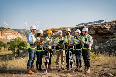
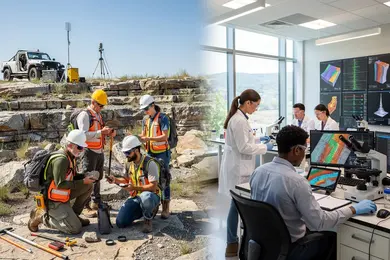
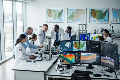
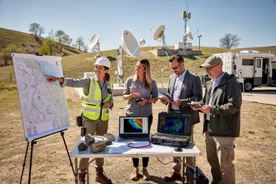
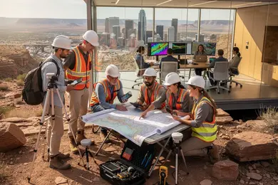
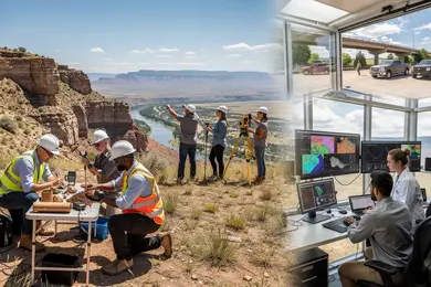
Employers increasingly require proficiency in Geographic Information Systems (GIS) integrated with field sensors and remote sensing technologies, raising the importance of technical fluency alongside physical endurance in outdoor conditions. Graduates equipped with this blend are more competitive for monitoring jobs in geosciences within environmental consulting and government sectors, where real-time troubleshooting and equipment calibration skills are essential.
The American Geosciences Institute projects U.S. geoscience jobs to rise from 461,152 in 2024 to 478,091 by 2034, with median salaries growing 4.5% between 2024 and 2025. Failing to obtain practical monitoring expertise delays entry or progression, as employers favor candidates who can independently manage field data workflows and produce detailed reports. Therefore, evaluating programs that emphasize verified fieldwork aligned with industry needs is critical.
Prospective students weighing their options may also consider insights on what can you do with an environmental science major to understand practical applications and trajectories beyond core geosciences monitoring roles.
Which geosciences degrees fit field and monitoring jobs best?
The best geosciences degrees for fieldwork careers hinge on a program's balance between technical skill development and contextual environmental understanding. Degrees that integrate environmental science with applied geosciences emphasize operational skills such as running field instruments, geological data interpretation, and ecosystem assessment. These competencies align well with the U.S. Bureau of Labor Statistics projection of 7,100 new environmental scientist and specialist jobs from 2019 to 2029, particularly in monitoring roles demanding precise data collection and regulatory compliance.
Specializing in disciplines like hydrogeology or environmental geology sharpens students' ability to tackle groundwater contamination and pollutant tracking-tasks central to many monitoring jobs. For example, a hydrogeologist employed in energy might perform fracking site investigations requiring accurate subsurface data collection and analysis. Programs offering rigorous training in GIS, remote sensing, and field instrumentation better prepare candidates for the technical demands of monitoring roles.
Tradeoffs persist between broader environmental science degrees covering regulatory frameworks and narrowly focused geosciences curricula that develop deep analytical capabilities but may miss stakeholder communication skills. Employers increasingly prize candidates who back theoretical knowledge with documented field internships or agency partnerships, reflecting the importance of real-world accuracy and data reliability.
Prospective students expanding their options might explore environmental engineering schools online, which sometimes overlap with geosciences applications and offer additional pathways to technical roles.

Are online geosciences programs accepted for field careers?
Online degrees in geosciences for fieldwork are viable but hinge heavily on compensating for limited hands-on training typical of remote programs. Field careers such as hydrogeology demand direct interaction with groundwater systems, from sampling to equipment operation-skills rarely duplicated in online-only formats. Employer expectations prioritize applied experience and often require EPA certification or state licensure, which an online degree without documented field exposure may not fulfill.
According to the U.S. Geological Survey, groundwater accounts for nearly 30% of public water usage and 89% of self-supplied domestic water sources, underscoring ongoing demand for specialists capable of practical water resource management. Students pursuing online programs should examine accreditation of online geosciences degrees for fieldwork, emphasizing whether curricula mandate or facilitate in-person labs, field trips, or internships with environmental agencies or firms. If not, proactive local field experience becomes essential.
For example, a candidate completing a specialized online hydrogeology program may need to independently arrange local fieldwork to meet groundwater monitoring job prerequisites. Conversely, traditional on-campus degrees routinely integrate these experiences, streamlining direct workforce entry. Understanding the acceptance of online geosciences programs in field monitoring careers allows more informed decisions on balancing remote learning with necessary practical exposure. Prospective students should also consider how online degrees compare with other disciplines by reviewing online degrees in computer science for structural and experiential differences in practical training expectations.
What coursework prepares students for field and monitoring roles?
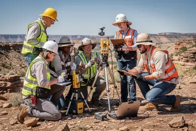
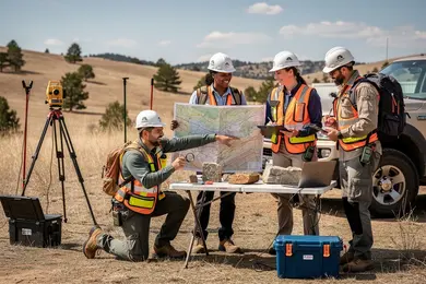
Effective preparation for fieldwork techniques for geosciences careers requires programs that move beyond theory to prioritize hands-on technical competence and situational adaptability. Soil mechanics, hydrogeology, and structural geology form the essential knowledge base, but employers place equal weight on practical skills like soil and rock sampling, in-situ testing, and borehole logging. These align with the tightening industry expectation for immediate operational readiness, minimizing onsite errors and ensuring data integrity under pressure.
Given projected infrastructure investments of $94 trillion through 2040, long-term projects demand proficiency in risk assessment and environmental monitoring, making coursework in those areas indispensible. Fieldwork-intensive modules such as sedimentology and geomorphology labs build observational precision and equipment handling, closely replicating real-world geosciences monitoring and data analysis coursework needs. Internships integrated into curricula provide critical exposure to professional workflows, addressing the common gap between academic knowledge and workplace realities.
Programs that blend geology, environmental science, and engineering principles better prepare students to navigate the evolving complexity of monitoring projects across diverse terrains and sectors like transportation or energy. Proficiency in GIS and remote sensing increasingly underpins spatial data interpretation and real-time ground monitoring. Prospective candidates evaluating pathways should consider practical curriculum demands and employer expectations carefully. For broader education comparisons, those pursuing a MLIS degree might similarly weigh applied competencies against theoretical scope.
What admissions requirements do geosciences programs usually have?
Geosciences admissions filter candidates for technical precision because the workforce demands practitioners adept in complex data analysis, especially in seismic monitoring and reservoir surveillance. These skills are non-negotiable in sectors like carbon capture and storage (CCUS), where inaccurate monitoring risks regulatory setbacks and environmental harm. For example, the International Energy Agency projects seismic analysis capacity must increase over 20-fold by 2050 to meet CO₂ capture targets, illustrating how academic rigor directly impacts employability and industry scalability.
Entry requirements reflect these operational imperatives. Undergraduate programs require strong backgrounds in calculus, chemistry, and physics, often verified via transcripts or standardized tests. Graduate admissions prioritize relevant degrees in geology, earth sciences, or environmental science and demand GRE scores, recommendation letters, and demonstrated research experience to confirm readiness for specialization.
These admission criteria are tightly coupled with immediate workforce needs rather than broad academic flexibility, aligning education pathways strictly with industry demands for operational competence in geophysical and reservoir monitoring technologies.
How do accredited geosciences schools differ from unaccredited ones?
Employers in seismic monitoring and environmental assessment distinctly prefer candidates from accredited geosciences programs due to their adherence to rigorous curricula and recognized standards set by agencies like ABET. This preference is not merely bureaucratic; it directly shapes workforce readiness for complex tasks such as managing automated seismic networks and conducting environmental impact studies. For example, the U.S. Geological Survey's National Earthquake Information Center handles about 20,000 earthquakes worldwide annually, roughly 55 per day, necessitating professionals trained in real-time data interpretation-a skill reinforced through accredited education.
By contrast, unaccredited programs frequently lack integration of current instrumentation and validated methodologies crucial for practical geosciences roles. Graduates from these programs often face barriers in qualifying for professional licensure, a requirement for many government and consulting positions, limiting their employability where formal credentials are strictly enforced.
Students targeting long-term viability in geosciences monitoring should prioritize programs with clear accreditation and demonstrated employer connections, ensuring hands-on experience with seismic data workflows that mirror those at leading centers like the National Earthquake Information Center.
How long do geosciences degrees take, and what do they cost?
Choosing a geosciences degree requires balancing time, cost, and market demands, particularly as Earth-observation data volumes surge-driven by sources like the European Space Agency's Copernicus Sentinel program, which now generates over 20 terabytes of data daily. For entry-level roles such as environmental monitoring, a bachelor's degree typically demands four years of full-time study and annual in-state tuition of roughly $10,000 to $15,000 at public universities. Private institutions often exceed $40,000 annually, and additional expenses for fieldwork and specialized software are common.
Master's programs, generally lasting 1.5 to 2 years full-time, focus heavily on applied GIS, remote sensing, and environmental modeling - skills increasingly pivotal as employers prioritize technical proficiency with large spatial datasets over degree titles alone. Costs range from $20,000 to $50,000 total at public schools. Part-time or online options extend duration but preserve similar price points, accommodating professionals transitioning fields.
Doctoral studies stretch 4 to 6 years beyond a master's and are best suited for candidates targeting research-intensive monitoring roles, though the significant time and financial commitment often requires assistantships to offset costs. For U.S.-based professionals aiming to remain competitive amid escalating data complexity, allocating at least $40,000 total toward education and skills development is practical.
Which certifications help geosciences graduates in monitoring jobs?
Earning certifications significantly accelerates employability for geosciences graduates focused on monitoring roles, especially in coastal and environmental assessments. Credentials like Certified Hydrographer (CH) and Certified Environmental Scientist (CES) offer industry-recognized validation for data collection and interpretation in hydrological and geological contexts.
Given that global mean sea level rise has more than doubled since the early 2010s, employers increasingly expect proficiency in remote sensing and GIS tools. The Geographic Information Systems Professional (GISP) certification confirms spatial data analysis competence crucial for mapping shoreline and subsurface changes with precision.
Yet, certifications alone are insufficient without field experience. For example, physical oceanographers involved in coastal vulnerability studies depend on combining certifications with the ability to interpret tide gauges, sonar, and satellite altimetry data. The Professional Geologist (PG) license, once primarily linked to resource exploration, now holds growing importance for environmental impact assessments of subterranean fluid movements.
Prospective candidates must also weigh costs of $300 to $1,200 per credential against the practical advantage they provide in federal and state agency roles. Emerging technologies such as Unmanned Aerial Systems (UAS) require additional qualifications; holding an Unmanned Aircraft Systems Remote Pilot Certificate enables legal drone use for sensitive marine ecosystem surveys, complementing foundational geosciences credentials.
What jobs can geosciences graduates get in field monitoring?
Careers in geosciences field monitoring demand a blend of technical aptitude and adaptability to unpredictable environments. Graduates often fill roles such as field technicians, glaciologists, and remote sensing specialists, where practical skills in data collection, sensor management, and environmental regulation compliance take precedence over theoretical knowledge alone. For instance, glaciologists tracking Arctic sea-ice decline must integrate satellite imagery analysis with field sensor data to provide timely assessments; the National Snow and Ice Data Center reports a late-summer ice loss averaging roughly 13% per decade compared to 1981-2010 averages, illustrating the pressing need for expertise in remote polar settings.
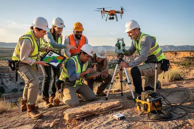
Effective professionals in this niche demonstrate proficiency with Geographic Information Systems (GIS), drone operation, and troubleshooting field equipment under challenging logistical constraints such as limited communications and harsh weather. This operational resilience distinguishes candidates, especially in sectors like oil and gas, where regulatory compliance hinges on rapid contaminant level reporting to avoid costly penalties or downtime. Internships offering hands-on exposure to these pressures greatly enhance job readiness and employability.
Salary prospects vary, typically starting around $50,000 for entry-level roles and reaching over $80,000 for specialized positions within government or consulting firms overseeing environmental impact and compliance.
What salary and job outlook do geosciences careers offer?
Field-oriented geosciences roles tied to mining and extraction offer top-tier salaries-$126,140 annual mean wage per U.S. Bureau of Labor Statistics data-due to the demand for professionals skilled in operational data analysis and regulatory compliance within complex environments. Yet, this financial premium comes with distinct tradeoffs, including extended time at remote or physically challenging worksites and fluctuating job stability linked to commodity cycles.
By contrast, environmental monitoring careers emphasize regulatory frameworks and remediation with steadier hours but comparatively lower pay. Meanwhile, energy sector geoscientists balance office-based data modeling and field verification across renewables and fossil fuel projects, reflecting a hybrid skill set that suits evolving industry demands.
Professionals adjusting their educational path should focus on programs emphasizing geographic information systems (GIS), field instrumentation, and regulatory knowledge to align with labor market priorities. Selecting programs attuned to the nuanced demands of extraction environments ensures technical precision that materially affects operational safety and profitability, rather than opting for generalized credentials that may dilute employability.
Other Things You Should Know About Geosciences
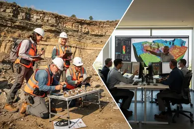
Field experience carries decisive weight in most geosciences monitoring and field roles because employers need candidates who can operate in varying, often challenging environments. While laboratory skills remain essential, especially for data analysis and interpretation, insufficient field proficiency can limit job opportunities. Prioritize programs that integrate substantial hands-on fieldwork early and consistently, as this better prepares graduates for employer expectations and real-world problem solving.
Choosing a specialized geosciences program offers focused training on geological methods and monitoring technologies critical for fieldwork, improving employability in targeted roles. In contrast, broad environmental science degrees might provide wider but shallower knowledge, potentially requiring additional on-the-job training. For career advancement and technical competence in field monitoring, prioritizing specialized geosciences curricula aligns more closely with employer demands and reduces skill gaps.
OSHA 10 or 30, first aid/CPR, and a wilderness first aid certificate strengthen field-monitoring credentials in 2027. For GIS-heavy roles, Esri ArcGIS certification helps. Employers also value HAZWOPER 40-hour training for contaminated-site work, especially when the job involves sampling, surveying, or environmental compliance.
References
- 500+ Water Jobs (Updated Today) â Free to Apply https://jobs.watertechintel.com/blog/geology-major-jobs
- Study Geosciences in Germany - My GUIDE https://www.myguide.de/en/study-mathematics-natural-sciences-in-germany/study-geosciences-in-germany/
- Information about Geoscience Related Careers https://careerexplorer.americangeosciences.org/careersinfo/
- Certifications https://www.grow-geocareers.com/certifications
- The Geological Society - Degree Accreditation https://www.geolsoc.org.uk/education-and-resources/universities/university-degree-accreditation/
- Working Geoscience https://profession.americangeosciences.org/working/
- What Does the Future Demand Look Like for Applied Geoscientists? https://www.aegweb.org/index.php
- Major to Career: Geosciences https://www.dickinson.edu/info/20107/geosciences/3969/major_to_career_geosciences
- Online Geoscience Degrees: Top Schools and All Programs in 2026 https://www.gisdegree.org/online/geoscience-degrees/
- 15 Best Certifications for Geologists in Nigeria (2026â2026 Guide) | Profolio https://www.profolio.ng/geologist/best-certifications