2027 Evaluating an MPH Practicum in A Public Health GIS Unit

Co-Founder and Chief Data Scientist
A public health GIS unit can give an MPH student valuable experience, or leave them making maps without learning how those maps inform decisions. The difference depends on the project, supervisor, data permissions, and the MPH program's applied practice requirements.
This guide is for students considering a placement with a health department, nonprofit, health system, or research partner. It explains what to verify before accepting, how to judge a feasible GIS deliverable, and when another practicum would better serve your goals.
Key Things You Should Know
- A strong GIS practicum produces a usable public health product, not just a map: confirm the decision it supports, the intended audience, and the student's contribution.
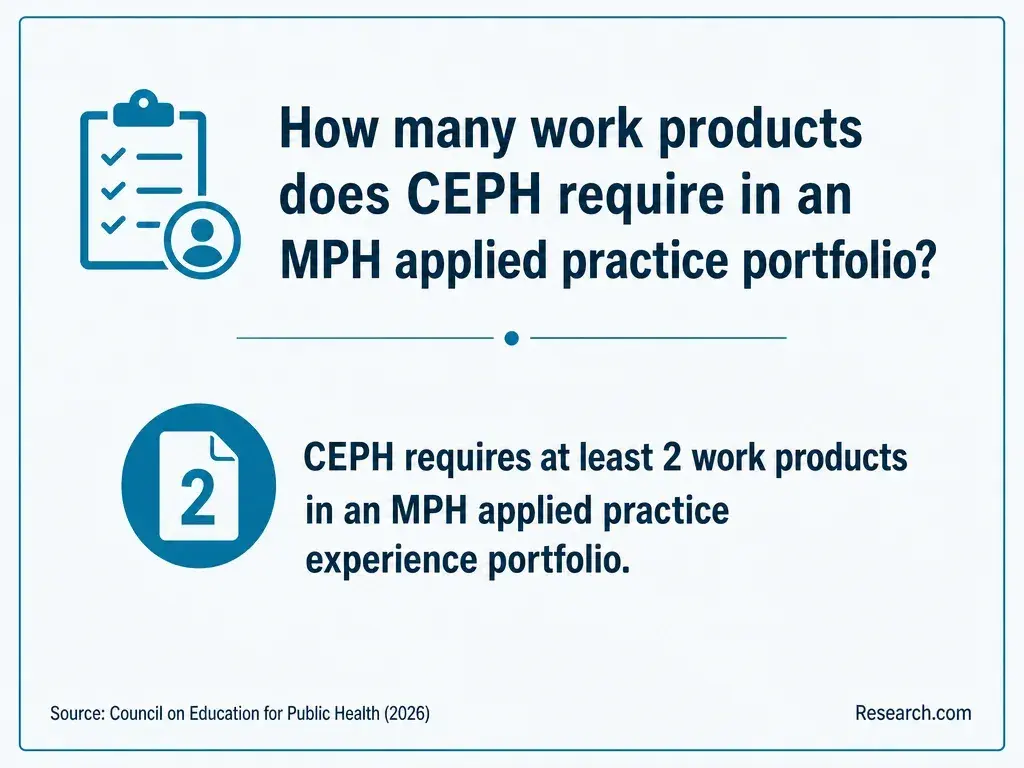
- CEPH-accredited MPH applied practice experiences require at least two practical products demonstrating at least five competencies, including at least three foundational competencies; the program determines how the placement satisfies its requirements.
- Get separate confirmation of academic approval, site supervision, data access, and permission to share any work publicly before committing to the project.
What Is an MPH Practicum in a Public Health GIS Unit?
An MPH practicum, often called an applied practice experience, is supervised work that applies public health competencies to a partner's real needs. In a GIS unit, the work uses geographic information systems to examine where health needs, services, exposures, or resources occur.
A unit might sit within a state or local health department, a community organization, a health system, or another approved practice setting.
The public health question should lead; the map is a tool. For example, a student might help staff assess whether proposed outreach locations are accessible to populations the program aims to serve. The resulting work could include a documented analysis and a brief explaining its limitations and implications for outreach planning.
This placement particularly suits students seeking supervised population-health analysis or program-planning experience. Someone still choosing an undergraduate route can use an online bachelor's public health education guide for that separate decision; an MPH field placement should be judged on what the student can practice and demonstrate now.
What Does a Public Health GIS Practicum Require?
Requirements come from the MPH program, not from the GIS unit's willingness to host a student. Before accepting, ask the academic coordinator which approvals, learning objectives, competencies, work hours, evaluations, and deliverables apply to your entry term.
A placement at your current employer or an existing volunteer site may need additional approval and duties distinct from your ordinary work.
Scope the work around a decision the host can actually make. Specify who will supervise your public health practice, who can review your GIS methods, when each will provide feedback, and what happens if the proposed dataset is delayed. A technically capable supervisor who has no time to review the work is a material placement risk.
Do not confuse course pace with fieldwork pace. An online public health bachelor's term-length comparison may help explain compressed academic schedules, but an MPH GIS project still depends on partner meetings, approvals, and revision cycles. Confirm its actual calendar rather than assuming it fits neatly into a short term.
How Does CEPH Accreditation Apply to an MPH GIS Practicum?
CEPH accredits eligible public health schools and programs, not individual GIS units or placements. First verify that your specific MPH is within the accreditor's stated scope. Then obtain your program's applied practice rubric: the school decides how a proposed site, activities, products, and assessments meet its requirements.
CEPH's MPH applied practice criteria call for at least two practical products demonstrating at least five competencies, with at least three drawn from foundational competencies.
A GIS project can contribute to those products, but software use alone does not demonstrate population-health reasoning, communication, or ethical practice. A map accompanied by a reproducible methods document and a decision-oriented brief may provide stronger evidence than multiple versions of the same map; the program must approve the final competency mapping.
Accreditation scope matters across degree levels. Students comparing a later doctoral pathway through a resource on online public health doctoral programs should check that degree's accreditation and applied-project rules separately rather than carrying over assumptions from an MPH placement.
The best preparation combines introductory GIS with epidemiology, biostatistics, and responsible data handling. A student should be able to explain the population and geographic units being mapped, identify the numerator and denominator behind a rate, join and check spatial data, document sources, and communicate uncertainty.
Coursework in program evaluation or health equity can help turn spatial patterns into useful, not overstated, recommendations.
Ask what the site's tools and data require before buying software or adding an elective. Some placements emphasize cleaning addresses and producing accessible maps; others require spatial analysis or scripted workflows. A student without those advanced skills may still be a good fit if the project is scoped for learning and includes technical supervision.
For students whose primary goal is advanced statistical modeling rather than applied GIS practice, comparing professional-friendly biostatistics master's programs addresses a different training decision. Do not treat a GIS elective, or a practicum using software, as proof of specialist statistical preparation.
Suitable projects have a defined partner question, available or obtainable data, a feasible review schedule, and an output the partner can use. The examples below are possible scopes, not claims about projects completed at any particular site.
The comparison shows how the same GIS techniques can serve different public health decisions, and where each proposed project could go wrong:
| Possible project | Useful output | Limitation to address |
| Map service locations and population-level need | Access map and planning brief for outreach staff | Geographic proximity does not establish eligibility, transportation access, or service use. |
| Review a surveillance mapping workflow | Documented data checks and a map-interpretation guide | Missing addresses and small geographic counts can distort patterns or create disclosure risks. |
| Compare potential community event locations | Site-assessment maps and a stakeholder discussion brief | Population datasets cannot replace community input about safety, trust, or practical access. |
A practicum should not quietly expand into dissertation-scale research. If the proposed question requires prolonged original research, extensive funding, or doctoral supervision, narrow it to a usable practice product. A resource on online epidemiology doctorate financial assistance concerns that separate pathway, not funding or approval for an MPH GIS placement.
Start with your MPH program's approved partners and faculty contacts, then approach public health agencies and community-serving organizations whose work matches your interests. Judge a potential site by the work it will let you do, not by its name or the sophistication of its mapping software.
Before agreeing, discuss these questions with both the host and academic coordinator:
- What public health decision will the work support, and who will use the final products?
- Which supervisor can review the public health interpretation, and who can resolve technical GIS problems?
- What data are available, who controls access, and what approvals must be completed before work begins?
- Which tasks will I perform myself, what feedback will I receive, and what is the backup project if access falls through?
- What are the on-site hours, travel or software costs, compensation terms, accessibility arrangements, and deadlines?
Contacting a host and applying to an MPH program are separate processes. Comparing online MPH reference letter policies may help with an application, but a program's admissions policy does not waive site approval, supervision, or a placement agreement.
Either format may permit an approved local placement; neither guarantees a fully remote GIS project. An online student might meet a distant site supervisor virtually while accessing permitted systems remotely, or might need on-site work for secure data and partner meetings.
A campus student can face the same scheduling constraints when a government partner works only during business hours.
Compare the placement schedule as carefully as the course schedule. Ask whether supervision is synchronous, whether secure-data rules prohibit work from home, whether the program permits an out-of-state site, and who arranges required agreements.
Budget for travel, unpaid time, software access if the site does not provide it, and any effect on paid work. A discussion of public health graduate program costs versus salaries can frame the broader education decision, but it cannot tell you whether a particular placement is affordable without those site-specific costs.
There is no single "MPH GIS" admissions standard or degree structure. GIS may appear as an elective, certificate option, concentration, or practicum skill rather than in the formal degree name. Check each program's published admissions rules, degree plan, available GIS instruction, placement approval process, and expected timing of the applied practice experience.
Applicants generally need to document prior undergraduate study, but specific GPA policies, prerequisites, recommendations, and required experience vary by institution. If grades are a concern, guidance on public health master's admission workarounds for GPA gaps can help you prepare questions for admissions staff; it does not establish an exception at a particular school.
For practicum planning, the crucial degree question is sequencing: will you complete the necessary methods coursework before the placement begins, and can its products count toward the program's requirements? Request written confirmation from the program rather than relying on a prospective host's description of the role.
A well-documented placement can support applications for public health analyst, surveillance, program evaluation, or GIS-related roles by showing what the student actually did.
Employers may value a clear account of the question, data checks, spatial methods, limitations, partner feedback, and resulting product. Job titles alone do not establish that those duties were performed.
Salary comparisons require a named occupation and location. The US Bureau of Labor Statistics reports occupation-wide pay for roles such as epidemiologists and cartographers or photogrammetrists, but those categories have different duties and are not estimates of what MPH GIS practicum graduates earn.
Compare current postings for your target role against your skills, location, and prior experience; a placement does not guarantee employment or a particular salary.
If you have not yet earned a bachelor's degree, an inexpensive public health bachelor's education may be an earlier financial decision. If you already hold a degree and need only GIS proficiency for an adjacent role, targeted training plus supervised project experience may be more direct than another full degree.
Which GIS Certifications and Standards Support Public Health Careers?
GIS credentials can document technical development, but no general GIS certification substitutes for an MPH practicum or independently authorizes access to health data. Check a target employer's postings before paying for a credential; some roles emphasize demonstrated mapping and analysis, while others specify experience with particular systems or workflows.
Standards matter immediately in fieldwork. Document coordinate systems, geographic boundaries, data sources, quality checks, and reproducible steps.
Apply the host's security and disclosure rules to maps and underlying records, and check accessibility before delivering a public-facing product. If a certification is of interest, verify its issuer's current eligibility and maintenance rules rather than assuming a course or degree confers it.
Likewise, reviewing conditional public health graduate entry addresses admissions, not professional certification. Keep entry terms, academic competencies, and employer credential preferences separate when planning your next step.
Other Things You Should Know About Public Health
Only with the host's permission and after checking data-use, privacy, and publication restrictions. When permitted, a redacted methods summary or approved sample may show your contribution without exposing restricted information.
Do not assume you do. Review the site agreement and program policy for ownership, reuse, attribution, and portfolio permission before sharing a product.
Check data quality, denominators, geographic boundaries, and uncertainty before interpreting the pattern. Discuss wording and context with the supervisor; a descriptive map alone does not establish the cause of a difference.
Not every mapping task does, but do not decide this from the project label alone. Ask the program and host which privacy, institutional review, and data-use determinations apply before obtaining or analyzing data.
- Geographic Information System Data | Field Epi Manual https://www.cdc.gov/field-epi-manual/php/chapters/gis-data.html
- Geographic Information Systems (GIS) for Public Health | reliefweb.int https://reliefweb.int/training/4234060/geographic-information-systems-gis-public-health-online-certificate-course
- Practicum and Capstone: COPHP MPH | Health Systems and Population Health https://hspop.uw.edu/cophpmph/program-experience/practicum-capstone/
- Practicum Examples | UW School of Public Health https://sph.washington.edu/mph-practicum/examples
- Section 1: Introduction - Master of Public Health Practicum Manual - Academic Guides at Walden University https://academicguides.waldenu.edu/masters-public-health-practicum-manual/introduction
- HIPAA Overview for Practicum Students | University of Montana https://www.umt.edu/social-work//practicum/hipaa-overview.php