2027 Master's in Data Science vs. Master's in Geographic Information Systems: Choosing Your Graduate Path

Co-Founder and Chief Data Scientist
A master's in data science and a master's in geographic information systems (GIS) can both lead to analytical work, but they prepare you to answer different kinds of questions. Data science emphasizes modeling and prediction across industries; GIS emphasizes problems in which location, distance, and spatial relationships matter. If you are choosing between them, the most useful test is not which title sounds more versatile. It is which curriculum will help you build evidence of the work you want to do.
Key Things You Should Know
- Choose data science for broad statistical modeling and machine-learning roles; choose GIS when spatial analysis and geographic decision-making are central to your target work.
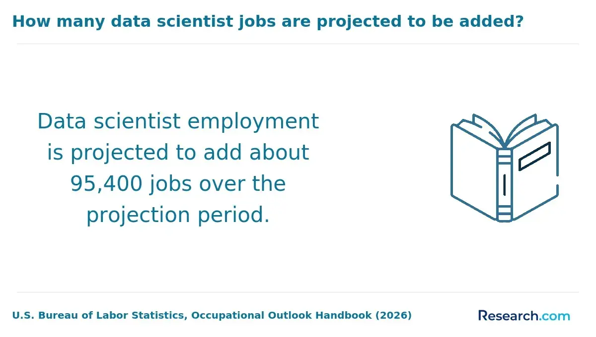
- The U.S. Bureau of Labor Statistics projects 35% employment growth for data scientists from 2025 to 2035. That forecast does not describe every job available to GIS graduates.
- Compare required courses, projects, total costs, and target job postings before applying; the degree title alone cannot establish technical depth or career fit.
What is the difference between a master's in data science and GIS?
The central difference is the question each degree teaches you to answer. Data science programs typically emphasize statistical inference, programming, machine learning, and working with varied datasets. GIS programs center geographic data: mapping, spatial databases, remote sensing, and analysis of where events occur and how places relate.
The fields overlap. A data scientist might model flood risk using location data; a GIS analyst might build predictive models to support flood planning. The distinction is where the program places its depth. If you want general-purpose modeling skills with the option to specialize in spatial data, favor data science. If you want to make defensible geographic analyses and maps for planners, environmental teams, or other location-focused users, favor GIS.
If your goal is specifically to build AI systems rather than analyze geographic patterns, AI degree comparisons based on career interests can help you evaluate that third path.
Which degree offers stronger career opportunities and job growth?
Data science has a clearly defined, fast-growing U.S. occupational category. The Bureau of Labor Statistics (BLS) projects 35% growth in data scientist employment from 2025 to 2035. That signals substantial national demand for the occupation, not a guaranteed opening for a new graduate.
GIS graduates enter several occupations rather than one equivalent "GIS professional" category. Their prospects depend on the role and sector: a geospatial developer, environmental analyst, cartographer, and planner may face different hiring conditions. Comparing the data scientist projection with a single GIS-related occupation would therefore misrepresent the degree choice.
For a practical comparison, collect postings for jobs you would accept and sort their requirements into two groups: general modeling and software skills, or spatial analysis and geographic-domain skills. Notice whether employers ask for demonstrated work, particular software, field knowledge, or a specific degree. The stronger opportunity is the one whose requirements you are willing to develop and whose work you want to perform.
How do data science and GIS master's curricula compare?
Course catalogs reveal more than program names. The comparison below describes common emphases, not requirements shared by every U.S. program.
| Curriculum dimension | Data science master's | GIS master's |
| Quantitative core | Statistics, modeling, and machine learning | Spatial statistics, geographic analysis, and measurement |
| Computing | Programming, databases, and data pipelines | GIS software, spatial databases, and geospatial programming |
| Data and outputs | Datasets from multiple domains; predictive models and analytical products | Georeferenced data and imagery; maps, spatial models, and geographic evidence |
| Typical project fit | A model or analysis evaluated against a defined outcome | A location-based analysis evaluated for spatial accuracy and usefulness |
Check required courses before electives. A GIS program with one introductory coding course may not provide the preparation needed for software-heavy geospatial roles; a data science program with one mapping elective may not provide substantial training in spatial methods. Examine project descriptions and assessment methods, not just course titles. If your preferred work is primarily AI development, consider artificial intelligence degree selection online alongside either curriculum.
What are the admission requirements for each master's degree?
Admissions requirements vary by institution, so neither degree has a universal undergraduate-major requirement. Data science applicants commonly need evidence that they can handle programming and quantitative coursework. GIS applicants may need to demonstrate readiness for geographic analysis, computing, or the program's particular application area. Relevant professional work can strengthen an application, but it does not automatically satisfy a formal prerequisite.
Compare your transcript and projects with each program's published prerequisites. If you have a gap, ask admissions whether a graded course, approved bridge course, or other preparation would meet the requirement before spending money on it. An application that omits an essay is not necessarily easier academically; the discussion of machine learning master's programs without an admissions essay is useful only if machine learning is also a serious option for you.
Are online or campus-based programs better for data science and GIS?
Neither online nor campus study is inherently better for these subjects. For data science, compare access to computing resources, instructor feedback, team projects, and career support. For GIS, also check how remote students access licensed software, large imagery files, equipment, and any field-based activities.
Campus study may suit students who need in-person collaboration or specialized facilities. Online study may suit working students who can complete technical projects independently, provided the schedule and resources are workable. Ask whether classes meet live, whether exams require a particular time or location, and whether any campus visits are mandatory. For a wider look at online degree pathways into data careers, compare those operational details as closely as the course list.
How long do these master's programs take and what do they cost?
Completion time and price vary with credit requirements, enrollment pace, residency classification, and university fees. Without a specific school's current tuition schedule, a reliable head-to-head price is not possible. Do not compare one program's per-credit tuition with another's advertised total.
Request a written estimate based on your expected course load. The following costs can change which option is affordable even when published tuition looks similar:
- Required credits multiplied by the applicable tuition rate, plus mandatory university and program fees.
- GIS software or equipment charges, or data science computing charges, if they are not included.
- Travel for any required campus activity and income forgone if the schedule requires reduced work hours.
Ask how often rates can change, what financial aid or employer support applies, and whether slower enrollment adds fees. Higher pay after graduation cannot be assumed to result from the degree: prior experience, location, and the job you obtain matter. If AI is another option on your shortlist, comparisons of affordable online artificial intelligence master's degrees should be evaluated using the same total-cost approach.
What careers can you pursue with either graduate degree?
A data science graduate might pursue data scientist, machine-learning, or analytics roles. A GIS graduate might pursue GIS analyst, geospatial developer, cartography, environmental analysis, or location-focused planning work. These are possible paths, not jobs automatically conferred by either degree; some roles also require sector expertise or additional qualifications.
The overlap is strongest in geospatial data science. Employers working with satellite imagery, transportation networks, land use, or environmental risk may value both predictive modeling and spatial reasoning. If that is your goal, look for a program that lets you complete substantial projects in both - not merely one elective bearing the other field's name. A portfolio showing the problem, methods, validation, and usable output can make that combination more credible.
How do salaries compare for data science and GIS professionals?
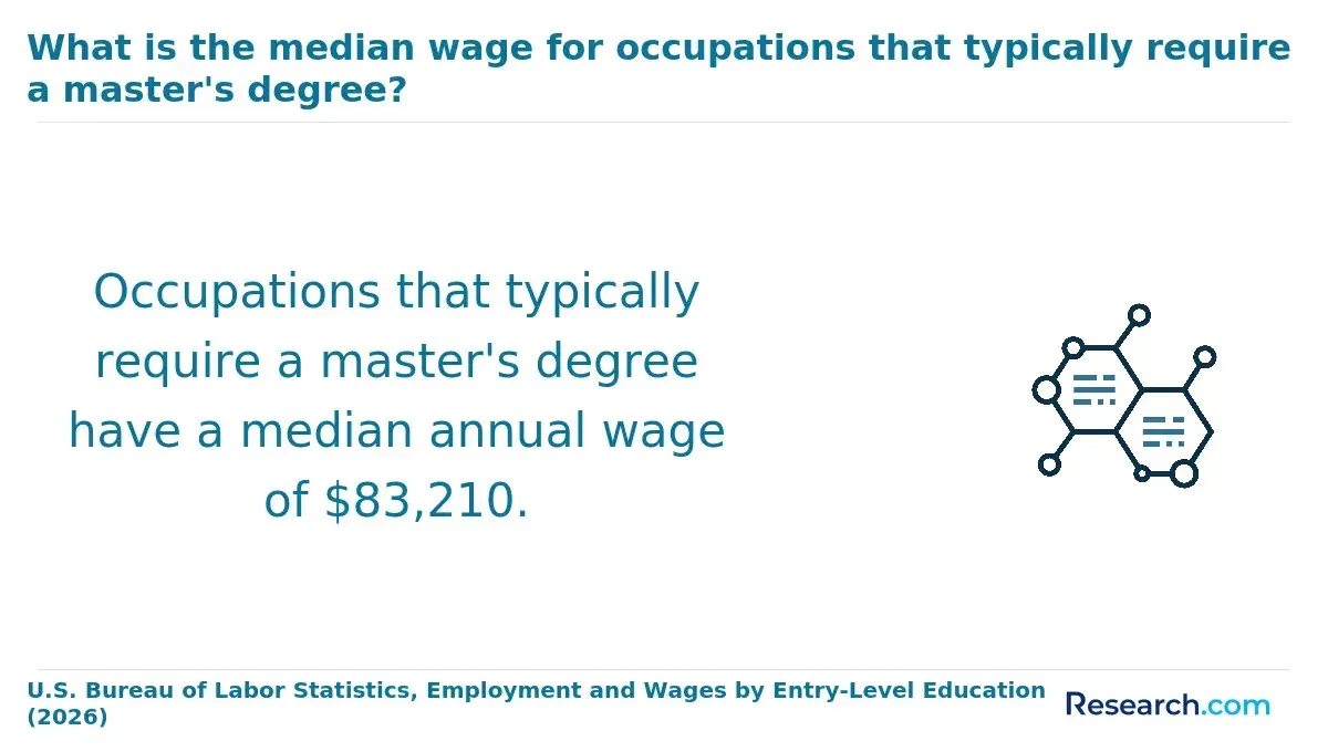
The BLS reports a $120,230 median annual wage for data scientists in May 2025. That is a national occupational median, not a starting salary, a graduate outcome, or proof of what a master's degree adds to earnings.
There is no equally precise salary for "GIS graduates" as a group because they work across different occupations. For a fair comparison, identify the exact roles you would seek with each degree, then review wage information for those occupations in your intended location and sector. Avoid comparing the data scientist median with a single GIS-related role as though it represents every GIS career.
Do data science or GIS careers require licenses or certifications?
Data scientist and GIS analyst roles generally do not carry a single nationwide professional license. Requirements can change when the work falls under another regulated profession, such as surveying; state rules and the duties of the specific position matter more than the graduate-degree title.
Certifications may help demonstrate proficiency with particular geospatial tools, platforms, or professional practices, but they are not interchangeable with a required state license. Before choosing a program around a credential, check target job postings and, for any regulated role, the relevant state licensing board's education and experience rules.
How can you choose an accredited and reputable graduate program?
Start by verifying the university's institutional accreditation through a recognized U.S. accreditor or federal education records. Then evaluate the program separately: institutional accreditation does not establish that its electives, projects, and career support match your goal.
A useful shortlist review has three steps:
- Match required courses and substantial projects against several target job postings, noting skills taught only as electives.
- Confirm the current total-cost estimate, delivery requirements, prerequisites, and access to software or computing resources directly with the program.
- Ask for documented career outcomes, including who was surveyed and when; if useful role-specific outcomes are not reported, do not substitute a ranking or promotional testimonial.
Choose data science if you want a broader modeling foundation and can build spatial expertise where needed. Choose GIS if your intended work depends on geographic methods and the program offers enough computing depth for your target roles. If neither curriculum covers both well, compare projects and electives before assuming you need two degrees.
Other Things You Should Know About Data Science
Yes. Use a location-based question and try both a spatial analysis and a predictive model. The work you want to refine further is a useful clue about program fit.
Not universally, but a thesis or substantial research project can help you demonstrate research ability. Check the expectations of doctoral programs in your intended specialty.
Location data can reveal sensitive information about people or protected places. Check data-use terms and remove or generalize sensitive details before publishing.
Not necessarily. One degree with rigorous work in the other field, supported by relevant projects and experience, may be a more focused route. Judge that route against the requirements of the jobs you want.
References
- New BLS employment projections: 3 charts - gov.dol.beta https://beta.dol.gov/news-events/blog/new-bls-employment-projections-3-charts-0
- Curriculum - MU Institute for Data Science and Informatics https://muidsi.missouri.edu/academic-programs/m-s-data-science-and-analytics-program/masters/curriculum/
- What Can I Do With a Degree in Data Science? Career Paths & Skills | Harvard SEAS https://seas.harvard.edu/news/what-can-i-do-degree-data-science-career-paths-skills
- Master's in Geographic Information Systems (GIS) | jhu.edu https://advanced.jhu.edu/academics/graduate/ms-geographic-information-systems/
- MS Geographic Information Science | University at Albany https://www.albany.edu/geographyplanning/programs/ms-geographic-information-science
- M.S. in Geographic Information Science & Technology | gatech.edu https://planning.gatech.edu/master-science-geographic-information-science-technology
- What is a Geographic Information Sciences Master's Degree? | Kent State Online https://onlinedegrees.kent.edu/geography-geographic-information-science-community-what-is-a-gisc-masters-degree
- Master's in Data Science: Curriculum | NYU CDS https://cds.nyu.edu/masters-in-data-science-curriculum/