2027 Is a 2-Year Geographic Information Systems Degree Worth It: Accelerated Bachelor's ROI & Time Trade-Offs

Co-Founder and Chief Data Scientist
Deciding whether to pursue a 2-year accelerated bachelor's degree in geographic information systems (GIS) poses a challenge for many prospective students balancing time, cost, and career goals. According to the U. S. Bureau of Labor Statistics, employment in GIS-related fields is projected to grow 10% from 2022 to 2032, faster than the average for all occupations. This article examines the return on investment and time trade-offs of accelerated GIS degree programs, helping readers assess their financial and professional outcomes. It offers evidence-based insights to guide informed decisions about pursuing an accelerated GIS education path.
Key Benefits of a 2-Year Geographic Information Systems Degree
- Accelerated 2-year geographic information systems degrees often lead to faster workforce entry, reducing opportunity costs and enabling earlier salary gains compared to traditional 4-year programs.
- GIS specialists report median salaries around $65,000 annually, making the ROI favorable given lower tuition and shorter study duration for associate-level credentials.
- Condensed coursework emphasizes practical skills and certifications, boosting employability in high-demand sectors like urban planning, environmental science, and transportation logistics.
How Do 2-Year Geographic Information Systems Programs Work?
Two-year geographic information systems (GIS) programs offer an accelerated path to completing a bachelor's degree by condensing curriculum into a shorter timeframe. This efficient structure is particularly valuable for students seeking to enter the workforce quickly while balancing financial and time commitments.
Understanding the 2-year accelerated geographic information systems degree structure helps prospective students evaluate the intensity and benefits of this option compared to traditional programs.
- Accelerated pacing: Courses are delivered in fast-paced 8 to 12 week terms, allowing students to complete more classes annually and reduce overall time-to-degree.
- Year-round enrollment: Many programs operate continuously throughout the year, enabling students to enroll in multiple terms without long breaks, maximizing progress.
- Condensed course terms: Classes cover the same material as longer semesters but in a shorter period, demanding focused study and efficient time management.
- Credit load expectations: Students often take 12 to 15 credits per compressed term, reflecting a heavier workload than traditional semesters.
- Instructional format: Programs typically combine online lectures, interactive labs, and project-based learning to build practical skills in software and spatial analysis.
- Assessment methods: Evaluation includes timed exams, hands-on mapping projects, and portfolio submissions to demonstrate proficiency across core GIS competencies.
- Curriculum progression: Core courses in database management, cartography, remote sensing, and spatial analysis lay the foundation before specialized electives deepen expertise; ongoing assessments help ensure timely completion.
This approach aligns with workforce demand, as employment in GIS-related fields is projected to grow significantly. Those interested in complementary accelerated healthcare degrees might also explore options such as the shortest DNP program online.
What Are the Admission Requirements for a 2-Year Geographic Information Systems Degree?
When evaluating an accelerated bachelor's in geographic information systems, understanding the admission requirements is essential for managing expectations and preparing a strong application. These criteria help students identify whether their academic background and experience align with program demands.
Here is a breakdown of the typical admissions requirements for a 2-year geographic information systems degree program.
- Prior Education: Most programs require a high school diploma or equivalent as the fundamental eligibility. Some accelerated GIS program entry criteria may also favor applicants with existing college credits or relevant certifications.
- GPA Expectations: A minimum GPA ranging from 2.0 to 2.5 on a 4.0 scale is commonly expected, though specific standards vary by institution. Meeting this benchmark indicates readiness for the academic rigor of the program.
- Standardized Tests: Generally, SAT or ACT scores are not mandatory; however, some institutions might request them to further assess an applicant's preparedness.
- Prerequisite Courses: Foundational coursework in mathematics-such as algebra or geometry-is typically required. Basic computer skills are also often recommended to facilitate success in GIS technical training.
- Work Experience: While prior GIS or related work experience is not usually required, it can strengthen an application and appeal to those seeking accelerated GIS program entry criteria, especially adult learners or career changers.
- Additional Materials: Some programs ask for transcripts, letters of recommendation, or personal statements to evaluate applicants' motivation and aptitude further. These elements can be particularly important for competitive or accelerated tracks.
Applicants interested in reducing educational costs while expediting entry into GIS careers should consider accelerated options carefully. For those balancing work and education, it may be worthwhile to explore related opportunities such as medical coding and billing classes online with financial aid, which also offer flexible scheduling and financial support.
What Does a Typical Week Look Like in a 2-Year Geographic Information Systems Program?
For students weighing an accelerated Geographic Information Systems degree, knowing the weekly commitments and pace helps set realistic expectations. A program condensed into two years demands efficient time use and excellent organizational skills. Below is a breakdown of typical weekly activities and workload components to provide insight into what lies ahead.
- Class Sessions and Lectures: Students typically engage in 12 to 15 hours of combined lectures and interactive labs. These sessions balance theory with hands-on GIS software training to build both conceptual understanding and practical expertise.
- Assignments and Assessments: Coursework often involves mapping projects, data evaluations, and detailed written submissions. Deadlines are regular, requiring students to maintain steady progress throughout each week.
- Group Collaboration: Teamwork plays a vital role, reflecting real-world GIS environments. Participants meet either virtually or face-to-face to exchange ideas, solve spatial problems, and complete joint projects.
- Independent Study: Outside class, about 10 to 20 hours per week are devoted to reviewing materials, practicing software skills, and researching assignments. This time underpins deeper learning and project preparation.
- Instructor Support: Accessible through virtual office hours or email, instructors provide valuable guidance and timely feedback, helping students stay on course.
- Time Management: Due to the program's accelerated nature, cultivating discipline and planning weekly schedules is crucial for balancing lectures, assignments, collaboration, and solo study effectively.
Breakdown of Public Fully Online Title IV Institutions

Choosing the right delivery format for an accelerated geographic information systems degree is essential for students balancing work, family, or other commitments. Flexible and accessible online options can significantly impact a learner's ability to manage time effectively and complete the program within two years.
The following points elaborate on how these formats accommodate various needs and influence the learning experience.
- Fully online vs. hybrid formats: Many 2-year GIS programs offer either fully online courses or a combination of online classes with occasional in-person labs or field activities. Hybrid options provide hands-on experience while maintaining much of the schedule flexibility found online.
- Asynchronous and synchronous learning: Fully online programs often deliver asynchronous content, enabling students to access lectures and assignments anytime, ideal for working adults. Some also feature synchronous sessions that foster live interaction, promoting greater engagement and collaboration.
- Technology requirements: Reliable computers, stable internet connections, and access to GIS software-sometimes through institutional licenses-are standard. These tools are crucial for navigating coursework and completing practical assignments remotely.
- Student support services: Virtual academic advising, tutoring, technical help desks, and career counseling help replicate on-campus resources. Such support ensures that distance learners receive guidance and assistance throughout their studies.
- Pacing and engagement: Online delivery supports accelerated pathways by allowing self-directed progress, often shortening degree completion time. However, success demands strong self-motivation to maintain consistent momentum in a 2-year program setting.
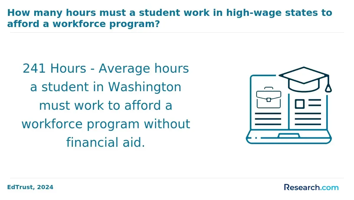
Evaluating the total cost of a 2-year geographic information systems degree is essential for prospective students to determine the return on investment (ROI) before committing to an accelerated program. These accelerated degrees aim to shorten study time, but understanding how tuition and related expenses add up helps clarify the financial commitment involved.
Below is a detailed cost breakdown of key factors affecting tuition fees for accelerated GIS programs and overall expenses.
- Tuition Structure: Tuition can vary between institutions, with some charging per credit hour while others use a flat-rate tuition model. Accelerated programs often require students to take heavier course loads per term, which may increase tuition costs compared to traditional pacing.
- Mandatory Fees: Beyond tuition, students must budget for fees that cover access to campus technology, labs, and library resources essential for geographic information systems training. These fees are usually fixed each term but add substantially to total expenses.
- Textbooks and Learning Materials: Specialized GIS textbooks and digital resources can be costly, with some courses requiring proprietary software licenses or hardware upgrades to complete assignments effectively.
- Technology and Lab Costs: GIS programs often mandate access to high-performance computers or specific software, which may mean additional personal expenses for students if institutional resources are limited.
- Accelerated Program Pacing: While accelerated degrees reduce the overall time enrolled-potentially lowering living and opportunity costs-the intensive curriculum may increase short-term expenses due to higher workload and required materials.
Students considering an accelerated geographic information systems degree should also explore related programs and costs such as affordable online medical billing and coding schools, which offer alternative pathways in health information technology fields.
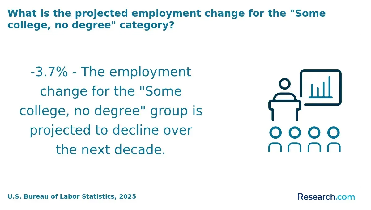
Access to financial aid is a key factor for many students considering accelerated geographic information systems (GIS) programs. Since these programs condense coursework into roughly two years, understanding how aid works-and whether it's available-can help prospective students budget effectively and enhance their chances of degree completion.
Below is an overview of typical financial aid options and considerations specific to these programs.
- Federal Student Aid Eligibility: Students attending accredited institutions offering accelerated GIS degrees usually qualify for federal aid such as Pell Grants and Direct Loans. Completion of the FAFSA form is required to determine financial need and award amounts.
- Scholarships and Grants: Various scholarships and grants target GIS fields or STEM disciplines more broadly. These awards often depend on academic merit, intended major, or demographic factors, providing supplemental financial support.
- Employer Tuition Assistance: Many working adults find employer-sponsored tuition help to be a valuable resource. This can cover part or all of tuition costs, making accelerated programs attractive for professionals balancing education and career.
- Payment Plans and Disbursement Timing: Due to the compressed nature of accelerated courses, financial aid disbursements may occur more frequently or require continuous enrollment to maintain eligibility. Some schools offer flexible payment schedules to accommodate this.
- Cost and Time Savings: Completing a GIS degree in two years can reduce overall tuition and opportunity costs, potentially improving return on investment. Career outlooks for GIS roles remain positive, supporting the value of financial aid investments in these programs.
Evaluating the career outcomes of an accelerated geographic information systems bachelor's degree is crucial for understanding its value and suitability. Selecting a degree pathway that aligns with your professional goals can maximize both time investment and future opportunities.
The following overview highlights typical roles and industries accessible to graduates, emphasizing early-career options and workforce readiness.
- Entry-level GIS technician: These positions involve collecting, managing, and interpreting spatial data under supervision. Common tasks support larger projects in urban planning, environmental conservation, or utilities sectors, offering foundational experience for geographic information systems careers after accelerated GIS associate degree completion.
- GIS analyst assistant: Graduates often assist senior analysts by preparing maps and performing spatial analysis using GIS software. The role sharpens practical skills in data visualization and supports decision-making processes across transportation and public health industries.
- Cartographic technician: This role focuses on the creation and updating of maps and charts, requiring proficiency with specialized graphic and GIS tools. It prepares students for real-world applications by combining technical know-how with creative data presentation techniques.
- Environmental data technician: Working closely with scientists and planners, these technicians gather and analyze geographic data related to environmental projects. The accelerating curriculum supports hands-on learning, enabling graduates to quickly contribute to conservation and resource management efforts.
- Career advancement possibilities: Experience in these initial positions can lead to specialized roles such as GIS data specialist or remote sensing analyst. Accelerated degree programs often emphasize portfolio development, enhancing early-career growth within the expanding geospatial technology field.
Given the growing demand, particularly in computer and information technology occupations, a 2-year GIS degree offers a viable entry point for those seeking high-paying jobs with 2-year GIS degree credentials.
Students weighing their options may also explore related pathways, including affordable online nursing programs, to compare return on investment and time commitments across fields.
Salary outcomes are a critical factor when evaluating the return on investment (ROI) between accelerated and traditional degree paths in geographic information systems. Understanding how earnings differ helps prospective students weigh the benefits of a shorter program against the potentially higher long-term gains of a bachelor's degree.
The following comparison highlights key salary differences between 2-year geographic information systems degrees and traditional bachelor's programs.
- Early-career earnings: Graduates with a 2-year geographic information systems degree typically earn between $40,000 and $55,000 in early career stages. In contrast, those holding a traditional bachelor's degree often start at $50,000 to $65,000, reflecting more comprehensive training and technical expertise.
- Long-term earning potential: Median mid-career salaries for 2-year degree holders generally range from $60,000 to $70,000. Bachelor's degree graduates tend to have higher mid-career earnings, usually around $70,000 to $85,000, due to broader skill sets and advanced qualifications.
- Employer perception and career progression: Employers often view a bachelor's degree as a stronger indicator of critical thinking and technical skills, making these graduates more competitive for senior-level positions and promotions compared to those with associate degrees.
- Time saved entering the workforce: Accelerated 2-year GIS programs enable students to start working up to 2 years earlier, allowing them to gain experience and income sooner. This early start can partially offset the typically lower starting salaries by accumulating professional experience quicker.
- Impact on lifetime earnings: When considering total lifetime earnings, individual career choices and industry demand significantly influence outcomes. The early workforce entry advantage of 2-year degree holders may compensate for slower salary growth, but long-term earnings tend to favor bachelor's degree graduates who benefit from higher raises and advancement opportunities.
For those comparing the accelerated GIS degree versus traditional bachelor's salary options, it is essential to balance immediate costs and time savings with longer-term career goals. More detailed information on related educational investments can be found among the cheapest DNP programs, which offer insight into affordable pathways and their financial returns.
The salary data above draws from sources like the U.S. Bureau of Labor Statistics and Payscale, providing a realistic picture for anyone considering a 2-year geographic information systems degree salary comparison as part of their academic and career planning.
When weighing the benefits of accelerated geographic information systems degrees, understanding the return on investment (ROI) is essential for making an informed decision. ROI helps students evaluate how the time and money spent on education translate into career and financial gains.
Several key factors contribute to shaping this return.
- Time-to-completion: Accelerated programs shorten the usual four-year path to about two years, allowing students to enter the workforce sooner. This faster completion reduces educational expenses and helps individuals start earning income earlier, positively impacting their ROI.
- Tuition and total cost: While tuition per credit might be similar to traditional programs, the condensed schedule lowers overall costs by reducing the number of terms required. Students also benefit from decreased living and transportation expenses due to the shorter study period.
- Opportunity cost savings: Entering employment earlier means additional years of earning potential, which can offset the upfront costs of education. With GIS specialists earning a median salary near $85,000 annually, this early workforce entry significantly enhances financial returns.
- Employment outcomes and industry demand: The GIS field is projected to grow around 8% over the next decade, driven by increased reliance on spatial data across sectors like urban planning and environmental management. Accelerated graduates with relevant skills are well-positioned to take advantage of growing job opportunities.
- Salary growth and skill transferability: GIS expertise applies across multiple industries, offering career flexibility and advancement possibilities. Programs emphasizing practical skills better equip students to adapt to evolving technologies, supporting long-term income growth and sustained ROI.
Choosing a 2-year geographic information systems degree depends on various personal and academic factors. Consider whether you excel in a fast-paced learning environment, as accelerated programs demand strong time management and discipline. If you can commit significant weekly hours and prefer a focused curriculum, this option may suit you well. Also assess your urgency to enter the workforce quickly, since these programs often enable faster completion compared to traditional four-year degrees. Balancing your learning style with career goals is essential to determine if this path fits your needs.
Financially, associate-level gis programs generally cost less, lowering tuition expenses and offering a quicker return on investment. Employment projections for gis roles show steady growth, but many advanced positions still favor candidates with bachelor's degrees. Evaluating potential salary, job prospects, and employer preferences can help gauge long-term benefits. Keep in mind accelerated degrees might limit upward mobility in some fields, so weigh immediate gains against future career flexibility.
What Graduates Say About Their 2-Year Geographic Information Systems Degree
- Kian: "Choosing the 2-year accelerated bachelor's degree in geographic information systems was a game-changer for me because I wanted to jumpstart my career without the long wait of a traditional program. The intense schedule was challenging, but breaking it down into manageable chunks and staying organized helped me keep pace. Since graduating, this degree has opened doors to exciting opportunities in urban planning that I never thought possible."
- Merrin: "I opted for the 2-year geographic information systems program primarily due to its affordability and the prospect of completing my studies swiftly. Juggling work and classes meant I had to be disciplined with my time, but the smaller cost compared to a four-year degree made it worth the sacrifice. Reflecting on it now, the focused curriculum gave me the practical skills employers seek, accelerating my move into data analysis roles."
- Ryden: "The professional edge I gained from the 2-year accelerated geographic information systems degree was undeniable. I appreciated that the program was fast-paced yet comprehensive, which pushed me to develop both technical expertise and efficiency under pressure. Investing in this degree has substantially boosted my credibility in the GIS field, enhancing my career trajectory significantly."
Other Things You Should Know About Geographic Information Systems Degrees
Yes, certifications like Esri Technical Certification, GIS Professional (GISP), and CompTIA IT Fundamentals can complement a 2-year GIS degree. They enhance professional credibility and technical expertise, making graduates more competitive in the job market.
Most programs expect basic computer literacy, but not prior GIS software mastery. By the first term, students usually learn ArcGIS Pro, QGIS, GPS data collection, and spatial analysis. Many employers also value SQL and Python scripting, which are often introduced in 60 to 70 credit-hour associate programs.
- Tuition and Financial Aid https://geospatial.psu.edu/join-today/tuition-and-financial-aid
- Geographic Information Systems AS Degree | Shasta College https://www.shastacollege.edu/academics/programs/geographic-information-systems/geographic-information-systems-as-degree/
- Can You Get a Bachelor's Degree in 2 Years or Less? https://www.coursera.org/articles/can-you-get-a-bachelors-degree-in-2-years
- All GIS Associate Degree Programs - GISDegree.org https://www.gisdegree.org/programs/associate/
- GIS and Geospatial Technologies at PCC https://www.pcc.edu/programs/gis/
- The Executive Case for GIS in AEC: Unlocking ROI & Long-Term Value https://resources.esri.ca/getting-technical/the-executive-case-for-gis-in-aec-unlocking-roi-long-term-value
- 6 Top Careers in Geospatial Technology | UT Permian Basin Online https://online.utpb.edu/about-us/articles/gis-geospatial/6-top-careers-in-geospatial-technology
- Bachelor of Applied Technology Geographic Information Systems https://www.sait.ca/programs-and-courses/degrees/bachelor-of-applied-technology-geographic-information-systems
- Geographic Information Systems (GIS) https://www.frontrange.edu/programs-courses/program-list/geographic-information-systems-gis/index.html
- 2025 Most Affordable Online Geographic Information Systems Degrees https://www.onlineu.com/most-affordable-colleges/geographic-information-systems-degrees