
2027 Master's in Data Science vs. Master's in Remote Sensing: Choosing Your Graduate Path

Co-Founder and Chief Data Scientist
A master's in data science can prepare you to build analytical systems across industries; a master's in remote sensing focuses on extracting information from satellite, aerial, and other sensor data. For students interested in both coding and Earth observation, the choice is less about which degree is more technical than which problems they want to solve. This comparison shows how to evaluate coursework, career options, costs, and program quality before committing to either path.
Key Things You Should Know
- Choose data science for broader industry flexibility; choose remote sensing when Earth observation, geospatial analysis, or environmental applications are central to your goals.
- Compare actual projects, not degree titles: either program may teach machine learning, but remote sensing should provide substantial work with sensor imagery and spatial data.
- Interpret job statistics carefully: the U.S. Bureau of Labor Statistics projects 35% growth for data scientist employment from 2025 to 2035, but remote sensing careers span several occupations rather than one directly comparable category.
What is the difference between a master's in data science and remote sensing?
Data science is a broad analytical discipline; remote sensing is a specialized way of observing and measuring places or objects from a distance. A data science master's typically emphasizes statistics, programming, machine learning, and working with data from multiple sources. A remote sensing master's concentrates on sensor-derived data - often satellite or aerial imagery - and the geographic or physical questions that data can answer.
The fields overlap. A remote sensing researcher might train a machine-learning model to identify land-cover change, while a data scientist might use the same imagery in a wider forecasting system. What differs is the depth of preparation: a remote sensing program may spend more time on image interpretation, spatial reference systems, sensor characteristics, and validation against observations on the ground. A data science program may offer more depth in general-purpose statistical modeling and data pipelines.
Choose based on the work you want to do, not an assumption that one title is automatically more advanced. If your interests center on AI applications beyond geospatial data, guidance on AI degree fit for different career ambitions can help you assess a third path.
Which degree offers better career opportunities: data science or remote sensing?
Data science generally offers a wider range of target industries; remote sensing offers a clearer specialization. Data science skills can apply to products, operations, healthcare, finance, and other settings. Remote sensing is a closer match for work involving land use, natural resources, mapping, hazards, agriculture, and Earth-observation products. These are differences in potential fit, not guarantees of available jobs.
The stronger choice depends on the roles you would actually pursue. A student open to many kinds of data may value a general-purpose degree and seek geospatial electives or projects. A student committed to satellite imagery should check whether a data science program provides enough spatial and sensor-specific instruction; otherwise, remote sensing may offer a more direct portfolio. Job postings in your intended location are a useful reality check: compare their required methods, software, and domain knowledge with each program's coursework.
How do data science and remote sensing master's curricula compare?
Program titles do not establish what students will practice. The table shows common areas of emphasis to investigate in course descriptions and recent student projects; individual programs can differ substantially.
| Dimension | Data science master's | Remote sensing master's |
| Core data | Structured, text, image, or other data, depending on electives | Satellite, aerial, drone, or other sensor observations and related spatial data |
| Methods | Statistics, machine learning, data engineering, and model evaluation | Image processing, spatial analysis, sensor interpretation, and accuracy assessment |
| Computing | General-purpose programming and scalable analytical workflows | Geospatial software, coding, and workflows for large imagery collections |
| Typical project question | How well does a model predict or explain an outcome? | What can observations reveal about a place or how it has changed? |
Look beyond a course named "machine learning" or "GIS." Check its prerequisites, assignments, datasets, and whether you can complete a substantial project in your intended area. For a data science degree, ask whether spatial data and imagery appear in more than a passing example. For remote sensing, check how much statistics and programming the curriculum requires if you want model-development roles.
What are the admission requirements for each master's degree?
Requirements vary by institution. Data science applicants may need evidence of preparation in programming, calculus, linear algebra, or statistics. Remote sensing programs may seek quantitative skills alongside relevant study or experience in geography, environmental science, engineering, physics, or a related field. Neither list should be treated as a universal admission rule.
Read each program's published prerequisite policy and distinguish a required course from a skill the faculty recommends. If your transcript does not clearly show a required subject, ask whether an approved course, professional experience, or conditional preparation can satisfy it. A small project can demonstrate readiness, but it does not automatically replace a formal prerequisite.
Students coming from another discipline can use advice on choosing an AI master's with a non-CS degree to think through technical preparation, while confirming each data science or remote sensing program's own rules directly.
How long do these master's programs take and how much do they cost?
Neither degree type has a standard completion time or price. The amount you will pay depends on the school's required credits, tuition policy, fees, course load, and whether a thesis, field component, or campus visit adds expenses. Published tuition alone is not a reliable total-cost comparison.
Build a comparable estimate for each finalist: multiply required credits by the applicable tuition rate, add mandatory fees, then account for software or equipment, travel, and any extra terms you might need. Check whether a thesis or prerequisite courses change the total. Compare the same enrollment pace for both degrees, especially if reducing work hours would affect your income.
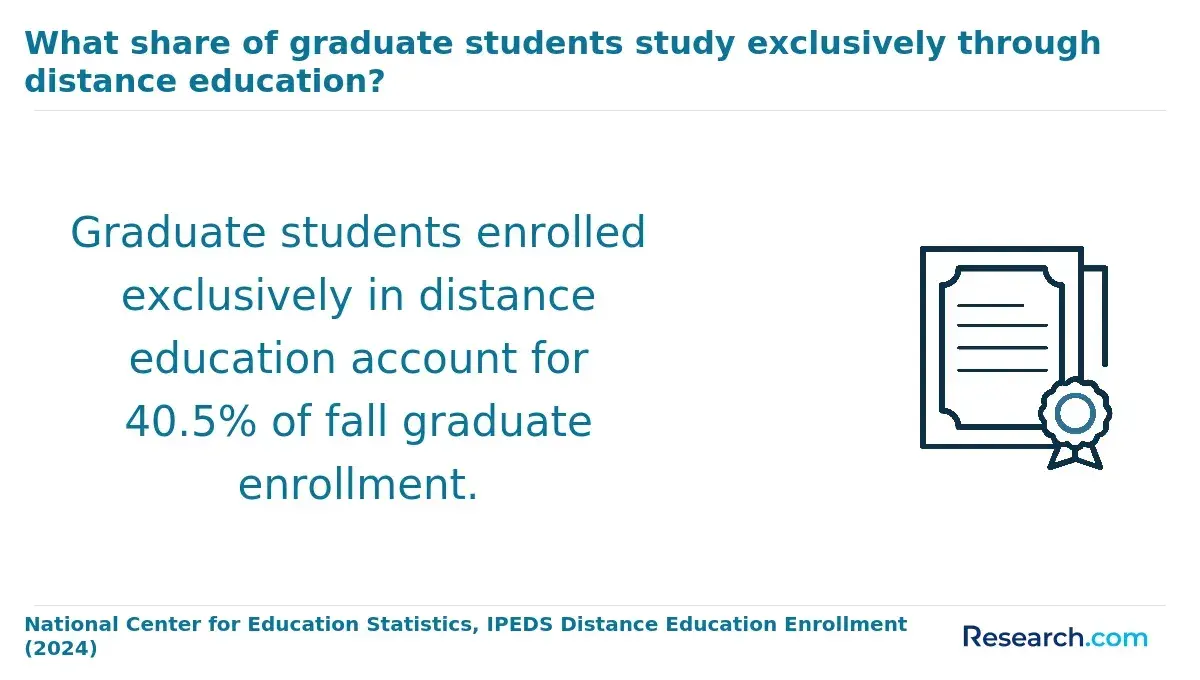
Ask about assistantships, employer tuition support, and eligibility for financial aid rather than assuming either path is cheaper. If your main interest is AI rather than geospatial work, inexpensive online artificial intelligence programs provide another set of options to price using the same total-cost method. A higher advertised salary in a target occupation does not establish that a particular master's will repay its cost.
Are online or campus-based programs better for data science and remote sensing?
Format matters most when it changes access to the work you need to practice. Online study can suit students who need to keep working and can obtain the necessary software, computing resources, data, and faculty feedback remotely. Campus study may be more useful when your intended projects depend on field instruction, specialized equipment, or in-person research collaboration. Do not assume every remote sensing degree requires fieldwork - or that every online degree can be completed without visits.
Ask each program whether classes are live or self-paced, when meetings occur, how imagery and computing resources are accessed, and whether projects, exams, or field activities require travel. Working students comparing scheduling options can also consult guidance on data science graduate study around work commitments. The best format is the one that lets you complete relevant projects without an unmanageable schedule.
How can you verify accreditation and program quality?
Start by verifying the institution's recognized accreditation through the U.S. Department of Education's accreditation database or the Council for Higher Education Accreditation. Do not assume that an institutionally accredited university has a separately accredited data science or remote sensing master's; field-specific accreditation is not a universal requirement for either degree. For online study, confirm that the institution can enroll a student residing in your state.
Accreditation is a starting check, not proof of career fit. Before applying, verify the following directly with each program:
- Whether required courses and electives are offered often enough to support your intended completion schedule.
- Whether faculty supervision, datasets, and computing resources support the kind of capstone or thesis you want.
- What graduates' outcomes reports actually measure, including the population, time period, and response rate.
A common mistake is relying on rankings or polished project descriptions without checking whether students in your degree track can access the relevant courses and support.
What jobs can you get with either master's degree?
A data science graduate might seek data scientist, machine-learning, analytics, or geospatial data roles. A remote sensing graduate might pursue imagery analyst, GIS or geospatial analyst, Earth-observation scientist, or research roles. Titles overlap, and employers set their own experience requirements; the degree name alone does not qualify someone for every listed role.
For positions combining the fields, your project evidence can matter more than the label on the diploma. A portfolio that documents the question, imagery or other data, methods, validation, and limitations makes your contribution easier to assess. If your goal instead involves clinical or healthcare-product data, AI master's programs for healthcare technology careers may be more relevant than a remote sensing specialization.
How do salaries and job outlooks compare between the fields?
The U.S. Bureau of Labor Statistics reports a May 2025 median annual wage of $120,230 for data scientists. That is an occupation-wide figure, not a starting salary or an outcome attributable to a master's degree. Pay for a specific job will also depend on experience, employer, responsibilities, and location.
BLS projects data scientist employment to grow 35% from 2025 to 2035. Remote sensing does not map neatly to one equivalent BLS occupation: relevant work can appear under several scientific, mapping, and analytical titles. Comparing the data scientist projection with a single geospatial occupation would therefore understate or misrepresent some remote sensing paths.
For a useful personal comparison, gather postings for the precise roles and locations you would target, then compare stated pay ranges and qualifications. Treat a program's graduate salary report cautiously unless it explains who responded, their prior experience, and whether the figure represents pay after graduation or an actual increase.
Which certifications or professional standards apply to each field?
Neither master's title comes with a universal certification or license required for all jobs. In data science, employers may value evidence of proficiency with relevant programming, cloud, or analytics tools, but a vendor credential is not a substitute for demonstrated work. In geospatial careers, credentials offered by organizations such as the GIS Certification Institute or the American Society for Photogrammetry and Remote Sensing may be relevant to particular roles; verify current eligibility and employer expectations before paying for one.
Choose coursework and projects first, then consider a credential if target postings repeatedly request it. Some engineering or regulated positions may have separate licensing rules, which should be checked with the appropriate state board. Avoid selecting a master's solely because it advertises preparation for a certification that your intended jobs do not require.
Other Things You Should Know About Data Science
Yes, where the dataset's terms permit your intended use. Document its source, date, resolution, and limitations, and explain how you checked your results.
No. Requirements depend on the employer, project, and data involved. Check individual postings rather than treating clearance as a requirement for the whole field.
Not universally, but sustained research experience can help you test that goal and show prospective supervisors your capabilities. Ask doctoral programs what evidence of research preparation they expect.
Potentially. Build the missing spatial and sensor-specific knowledge through relevant courses or projects, then check target job postings for additional domain requirements.
References
- Basic Qualification Requirements | U.S. Geological Survey https://www.usgs.gov/centers/mendenhall-research-fellowship-program/basic-qualification-requirements-0
- What You Can Do with a Master's in Data Science and Artificial Intelligence | Harvard Extension School https://extension.harvard.edu/blog/what-you-can-do-with-a-masters-in-data-science-and-artificial-intelligence/
- Professional MS program in GIS and Remote Sensing | pitt.edu https://www.geology.pitt.edu/graduate/professional-ms-program-gis-and-remote-sensing
- Courses | Master of Science in Data Science | University of Connecticut https://masters.datascience.uconn.edu/courses/
- Prerequisite Key Topics - UVA School of Data Science https://datascience.virginia.edu/pages/prerequisite-key-topics
- 5 Ways The Data Science Field Has Grown And Made An Impact | Catalyst https://wp.wpi.edu/catalyst/2023/01/25/5-ways-the-data-science-field-has-grown-and-made-an-impact/
- Master of Science in Spatial Data Science | psu.edu https://geospatial.psu.edu/degree-programs/master-of-science-in-spatial-data-science
- Online vs. In-Person Master of Data Science | MDS@Rice https://csweb.rice.edu/academics/graduate-programs/online-mds/blog/online-vs-in-person-master-of-data-science
- College ROI: How to Compare Costs, Outcomes and Fit | Oglethorpe University https://oglethorpe.edu/post/college-roi-costs-outcomes-fit/
- Geospatial Data Sciences | umich.edu https://seas.umich.edu/academics/master-science/geospatial-data-sciences


