
2027 Geospatial Analytics in an Online Data Science Master's: Courses, Projects, and Program Selection

Co-Founder and Chief Data Scientist
Key Things You Should Know
- Look for spatial statistics, geospatial data engineering, and a substantial project—not just a mapping unit—if geospatial analytics is your main goal.
- Ask whether online students can access the same datasets, software, faculty guidance, and project opportunities as campus students; delivery format alone does not establish equivalence.
- The U.S. median annual wage for data scientists was $120,230 in May 2025, but that occupation-wide figure is not a salary estimate for geospatial graduates or a return on a particular degree.
What Is Geospatial Analytics in an Online Data Science Master's?
Geospatial analytics uses data tied to places—coordinates, addresses, boundaries, routes, or remotely sensed imagery—to investigate patterns and make predictions. In a data science master's, it connects statistical modeling and computing with spatial questions: Where is demand changing? Which areas face greater exposure to a hazard? How might a route or service network perform?
The spatial component changes the analysis, not just the visualization. Nearby observations can be related, boundaries can distort comparisons, and location traces can reveal sensitive information. A substantive program teaches students to handle those issues before interpreting a map or model.
Degree titles are an unreliable shortcut. Geospatial work may appear in a data science elective, a GIS concentration, remote sensing coursework, or an applied capstone. Conversely, a program with attractive mapping examples may offer little instruction in spatial modeling. Judge the documented learning opportunities rather than the name alone.
What Courses Do Online Geospatial Analytics Master's Programs Include?
A strong pathway usually combines general data science foundations—programming, databases, statistics, and machine learning—with spatially specific methods. The table distinguishes exposure from the deeper coursework a student would need to practice independently; these are evaluation criteria, not claims that every program offers each course.
| Curriculum area | Limited exposure | Substantive graduate-level depth |
| Geospatial data management | Imports a prepared map layer | Builds reproducible workflows for coordinates, projections, spatial joins, and data quality |
| Spatial analysis and statistics | Maps patterns descriptively | Tests spatial relationships, considers dependence between observations, and explains uncertainty |
| Remote sensing or imagery | Views an image product | Processes imagery, evaluates derived measurements, and discusses resolution and error |
| Spatial machine learning | Applies a general model to location fields | Designs spatially appropriate validation and checks whether performance transfers across places |
Foundations matter: students should be comfortable with coding and statistical reasoning before attempting advanced spatial modeling. To assess depth, read the catalog description and, when available, the syllabus and assignments. A dedicated course is stronger evidence than a single lecture; an advanced elective plus a substantial project is stronger still. Confirm that relevant electives run often enough for online students to take them before graduation.
If your intended work is predominantly general model development rather than spatial data, compare the curriculum with machine learning master's degrees with lower required costs. A geospatial specialization is most valuable when the spatial problems, not merely the software, are central to your goals.
How Do Online Geospatial Analytics Master's Programs Compare With Campus Programs?
An online program can teach the same analytical methods as a campus program, but its practical fit depends on how instruction and collaboration work. Recorded lessons may suit a working analyst; live sessions may offer easier discussion but create time-zone conflicts. Neither format alone guarantees access to specialized electives or faculty supervision.
Compare the actual sections available to each cohort. Ask whether online students can use the required software and computing resources remotely, join research or external-partner projects, meet instructors during suitable hours, and complete any fieldwork or campus visits without disrupting employment. Campus study may be preferable when access to specialized facilities or in-person research groups is essential to your proposed work.
Also compare the time required for the relevant pathway, not just the advertised fastest graduation date. A short program is less useful if its schedule prevents you from taking the spatial elective or developing a credible capstone. For a broader look at that trade-off, see shorter data science master's programs and career considerations.
What Projects and Capstone Experiences Are Common in These Programs?
Projects might analyze environmental exposure, land-use change, transportation access, disaster risk, or service locations. The strongest portfolio piece does more than produce a polished map: it defines a decision, documents data provenance, explains spatial assumptions, evaluates results, and makes the workflow reproducible. Programs differ in whether students choose their own topic, work with a sponsor, or complete a prescribed assignment; confirm which options online students actually have.
For a proposed capstone, look for the following evidence of rigor. These checks are especially useful when comparing programs whose project descriptions sound similar.
- A defensible question: Identify the decision the analysis could inform and the geographic area and time period it covers.
- Appropriate data: Check coverage, coordinate systems, missing locations, measurement error, and permission to use or publish records.
- Honest evaluation: Where prediction is involved, assess performance across places or later periods rather than relying only on randomly mixed nearby observations.
- Responsible communication: Explain uncertainty and avoid exposing identifiable addresses or sensitive location histories.
These requirements become particularly important in health applications, where a neighborhood-level pattern must not be mistaken for an individual diagnosis. Students interested in that intersection can compare master's pathways connecting AI and healthcare while checking whether a prospective program also supports spatial methods and appropriate data safeguards.
What Are the Admission Requirements for an Online Geospatial Analytics Master's?
Requirements vary by institution, so there is no universal GIS prerequisite or admissions checklist. Data science programs may assess preparation in programming, mathematics, and statistics, while a geospatial-focused pathway may also value experience with maps, imagery, spatial databases, or relevant domain problems. Prior GIS work can demonstrate interest, but it does not automatically replace a formal prerequisite.
Before applying, compare your transcript and work samples with the program's published requirements. If you have strong GIS experience but limited coding, a reproducible spatial analysis can demonstrate progress; if you have a computing background but little spatial experience, a small project that handles projections and spatial data quality can reveal what you still need to learn. Ask admissions staff which requirements are mandatory, whether preparatory coursework is accepted, and whether entry into the geospatial electives is restricted.
How Long Does an Online Geospatial Analytics Master's Take and Cost?
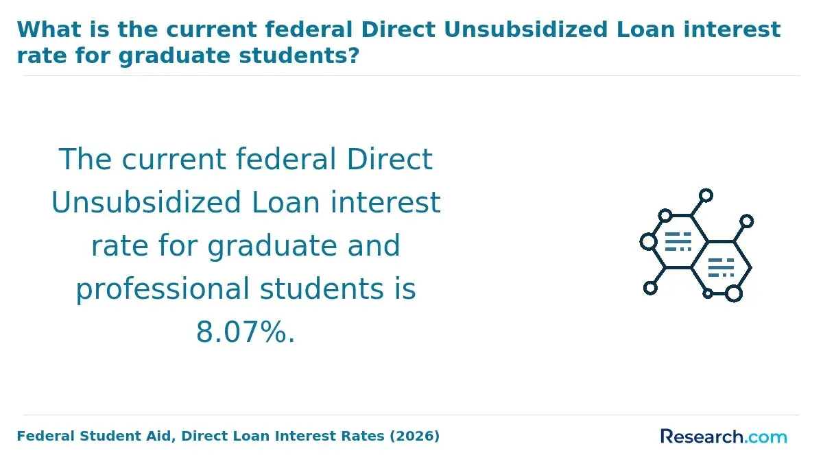
There is no reliable single timeline or price for this pathway: credit requirements, course availability, enrollment pace, and tuition policies differ. A part-time student should check not only the minimum completion time but also how frequently the needed spatial courses and capstone supervision are offered. Delayed elective availability can lengthen a degree even when the core courses run regularly.
For cost, calculate the price of the courses you would actually take, then add mandatory program and university fees, required software or computing expenses, and any travel. Confirm whether tuition changes with residency or enrollment status and whether employer assistance applies to the specific degree. Compare published charges on the same basis—tuition alone should not be set against another school's tuition-and-fees estimate. The online data science master's affordability guide can help frame a wider search, but obtain a current, individualized estimate from each school before committing.
A common mistake is paying for a specialization you cannot complete within your intended schedule. Ask for a sample course sequence that includes the spatial electives and project, then compare its total cost and time with a general data science program plus other relevant training. Do not treat a potential future salary as a guaranteed return on the tuition.
What Accreditation Should You Look for in a Geospatial Analytics Program?
Start by verifying the university's current institutional accreditation through the accreditor or an official U.S. Department of Education resource. Do not assume that a GIS concentration has separate accreditation, or that a program is unsuitable solely because it lacks a discipline-specific label. Institutional accreditation and a program's technical depth answer different questions; check both.
For an online program, also confirm that the institution can enroll students in your state and that any required in-person activities are feasible. If you plan to seek employer reimbursement or a particular credential later, ask the employer or credentialing body which educational conditions matter. A school's accreditation does not by itself establish eligibility for every benefit or professional designation.
What Careers Can an Online Geospatial Analytics Master's Lead To?
Potential directions include geospatial data analyst, GIS developer, remote sensing analyst, location-intelligence analyst, and data scientist working with spatial information. Titles and hiring requirements vary by employer. A master's can strengthen your preparation, but employers may care just as much about programming ability, domain knowledge, and evidence that you can deliver a usable analysis.
Choose projects to match the work you want to pursue. An applicant targeting environmental imagery needs different evidence from one targeting delivery networks or public health access. If your goal is primarily building AI systems without a sustained spatial focus, choosing an AI degree for your career goals may provide a better comparison than assuming a GIS-oriented pathway is the closest match.
A degree is not automatically necessary for every transition. Someone who already has strong statistics and software skills may benefit more from focused spatial coursework and a credible portfolio; someone who needs both data science foundations and supervised geospatial work may find the master's more useful.
What Salary and Job Outlook Can Geospatial Data Professionals Expect?
The U.S. Bureau of Labor Statistics reports a May 2025 median annual wage of $120,230 for data scientists and projects 35% employment growth for that occupation from 2025 to 2035. The growth projection indicates broad demand for data science skills; neither figure isolates geospatial positions, describes entry-level pay, or predicts an individual graduate's outcome.
Geospatial work spans several occupational titles, so one headline salary is a poor basis for choosing a program. Compare postings for your target role and location, noting the required tools, experience, industry knowledge, and pay ranges where disclosed. When evaluating a school's employment claims, look for the graduating cohort, response rate, prior work experience, and whether reported pay reflects a new job or an existing one. Without that context, a graduate salary cannot show what the degree caused.
Which Certifications and Standards Matter in Geospatial Analytics?
Certifications may help communicate specialized practice, but they are not substitutes for demonstrable analytical work. The GIS Professional designation, commonly called GISP, is one credential worth investigating for GIS-oriented roles; check its current eligibility and application rules directly before making it part of a degree plan. For other roles, a portfolio and experience with the employer's tools may carry more weight than a general certificate.
Technical standards matter because geospatial work often moves between systems. Look for instruction that teaches students to document coordinate reference systems, use interoperable spatial data formats, and assess whether shared datasets retain their meaning after conversion. A program that teaches a single mapping interface without these habits may leave graduates less prepared to collaborate across teams. Ask prospective employers which credentials or standards they actually use before paying for an optional certification.
Other Things You Should Know About Data Science
Not necessarily. Requirements depend on the software, imagery size, and whether the school provides remote computing. Request the program's current hardware specifications before buying a new machine.
Only with appropriate permission. Check your employer's data-use rules and the course's publication requirements before submitting identifiable or confidential records; a public or properly de-identified dataset may be safer.
Diploma and transcript wording varies by institution. Ask the registrar for the exact wording if that distinction matters to you.
Yes. Include a text explanation of the finding and use labels, legends, and color choices that do not make the result understandable only through color or visual inspection.
References
- Geospatial Data Analytics Concentration | Programs | Graduate Education https://www.clarku.edu/programs/concentration/geospatial-data-analytics-concentration/
- MAGIST - UCLA Master of Applied Geospatial Information Systems and Technologies (MAGIST) https://magist.gis.ucla.edu/
- Spatial Data Science Master's Degree Online | Penn State World Campus https://www.worldcampus.psu.edu/degrees-and-certificates/penn-state-online-spatial-data-science-masters-degree
- M.S. in Geographic Information Science & Technology | gatech.edu https://planning.gatech.edu/master-science-geographic-information-science-technology
- Program: Data Intelligence and GeoAnalytics, M.S. | smumn.edu https://catalog.smumn.edu/preview_program.php
- MS in Data Science | Online | $9900 | Eastern University https://www.eastern.edu/academics/graduate-programs/ms-data-science
- MS in Data Science and Analytics with Emphasis in Geospatial Analytics | University of Missouri Academic Catalog https://catalog.missouri.edu/graduateschool/datascienceanalytics/ms-data-science-analytics-emphasis-geospatial-analytics/


